Photo corners
Montrose Basin
Angus, United Kingdom
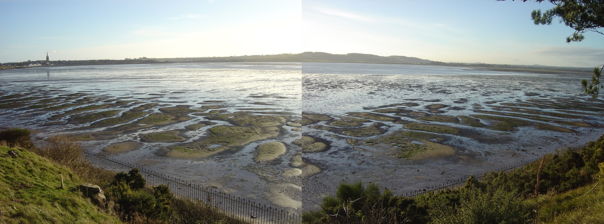
Montrose Basin is a nearly circular tidal basin which makes up part of the estuary of the River South Esk and which sits just inland of the town of Montrose in Angus on the east coast of Scotland. The basin is protected by a number of designations; it is managed by the Scottish Wildlife Trust as a Wildlife Reserve, as well as being designated as a Local Nature Reserve, Site of Special Scientific Interest, a Special Protection Area and a Ramsar Site.
- Category
- Photo Spots
- Location
- Angus, United Kingdom
- Coordinates
- 56.70820, -2.50305
- How to get there
- Google MapsApple MapsOpenStreetMap
- Wikidata
- Q3632562
What is Montrose Basin?
Montrose Basin is a Photo Spots place on VeroMaps. Other places close by: Stone of Morphie, Brechin Cathedral, Ethie Castle, Melgund Castle.
Where is Montrose Basin?
Montrose Basin is in Angus, United Kingdom. Coordinates: 56.70820, -2.50305.
How do I get to Montrose Basin?
Montrose Basin is at Angus, United Kingdom (56.70820, -2.50305). Enter these coordinates in Google Maps, Apple Maps or OpenStreetMap for walking, cycling or driving directions.