Urbex & Abandoned
The Frith
Mortimer West End, United Kingdom
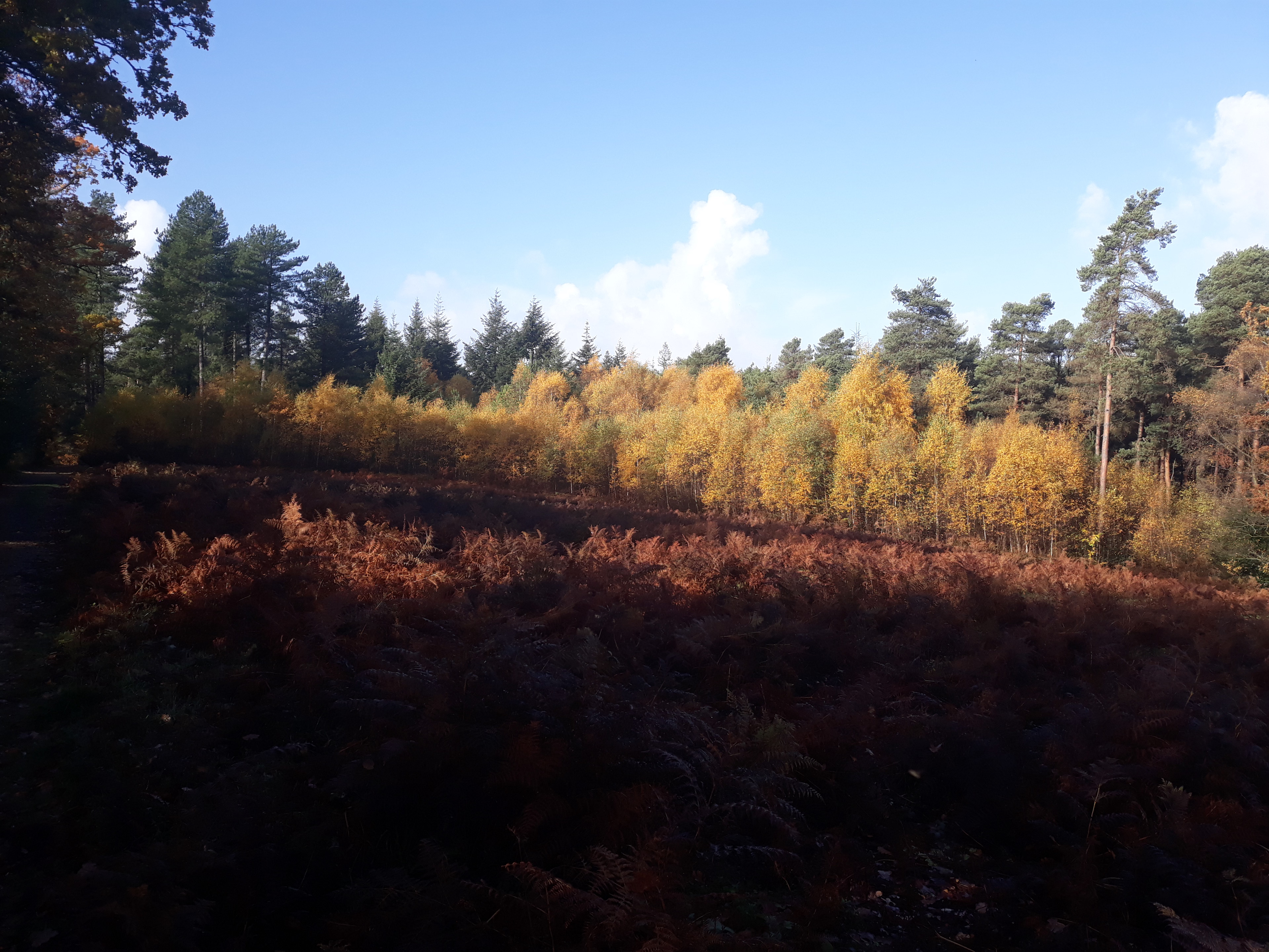
The Frith is a small univallate Iron Age hillfort to the north of Silchester, Calleva Atrebatum, Roman town in the English county of Hampshire. A single bank covers all sides apart from the south east, and is at the most about 5 feet (1.5 m) high on the western edge. A ditch is also traceable for the length of the bank, although at varying states. The area to the north and northwest is partially wooded. A local footpath crosses the site east to west. The site slopes from approximately 90 to 95 metres (295 to 312 ft) in the west, with the summit of the unnamed hill (102 metres (335 ft) AOD) approximately 500 metres (1,600 ft) to the southwest. Close by to the south lies a Roman road heading into Calleva Atrebatum. Also nearby, 500 metres (1,600 ft) to the west, lies a further smaller unidentified enclosure.
- Category
- Urbex & Abandoned
- Location
- Mortimer West End, United Kingdom
- Coordinates
- 51.36330, -1.10116
- How to get there
- Google MapsApple MapsOpenStreetMap
- Wikidata
- Q7735332
What is The Frith?
The Frith is a Urbex & Abandoned place on VeroMaps. Other places close by: Calleva Atrebatum, Aldermaston Court, The Vyne, Brimpton Pit.
Where is The Frith?
The Frith is in Mortimer West End, United Kingdom. Coordinates: 51.36330, -1.10116.
How do I get to The Frith?
The Frith is at Mortimer West End, United Kingdom (51.36330, -1.10116). Enter these coordinates in Google Maps, Apple Maps or OpenStreetMap for walking, cycling or driving directions.