Urbex & Abandoned
Calleva Atrebatum
Silchester, United Kingdom
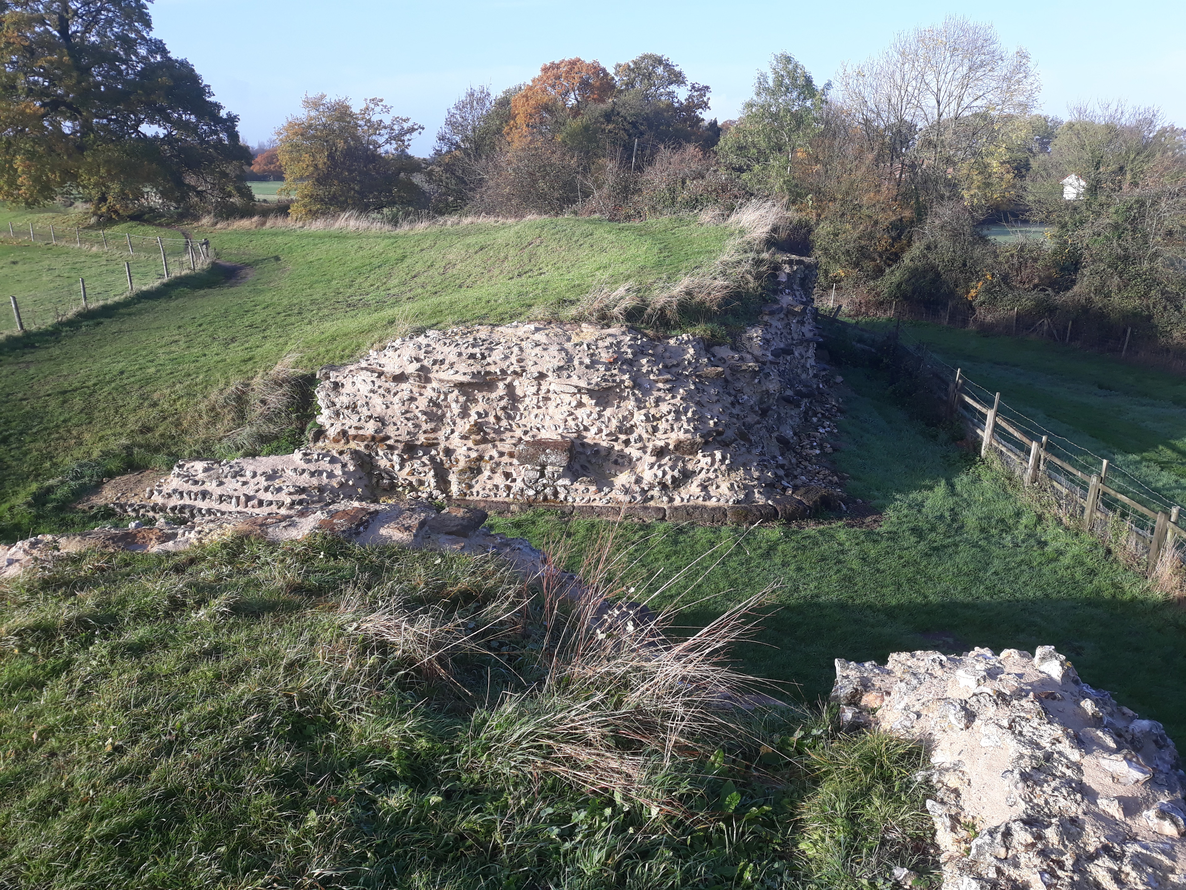
Calleva Atrebatum ("Calleva of the Atrebates") was an Iron Age oppidum, the capital of the Atrebates tribe. It then became a walled town in the Roman province of Britannia, at a major crossroads of the roads of southern Britain. The modern village of Silchester in Hampshire, England, is about a mile (1.6 km) to the west of the site. The village's parish church of St Mary the Virgin is just within the ancient walls. Most of the site lies within the modern civil parish of Silchester, although the amphitheatre is in the adjoining civil parish of Mortimer West End. The whole of the site is within the local authority district of Basingstoke and Deane and the county of Hampshire.
- Category
- Urbex & Abandoned
- Location
- Silchester, United Kingdom
- Coordinates
- 51.35730, -1.08290
- How to get there
- Google MapsApple MapsOpenStreetMap
- Wikidata
- Q1027253
What is Calleva Atrebatum?
Calleva Atrebatum is a Urbex & Abandoned place on VeroMaps. Other places close by: The Frith, Aldermaston Court, The Vyne, Brimpton Pit.
Where is Calleva Atrebatum?
Calleva Atrebatum is in Silchester, United Kingdom. Coordinates: 51.35730, -1.08290.
How do I get to Calleva Atrebatum?
Calleva Atrebatum is at Silchester, United Kingdom (51.35730, -1.08290). Enter these coordinates in Google Maps, Apple Maps or OpenStreetMap for walking, cycling or driving directions.