Urbex & Abandoned
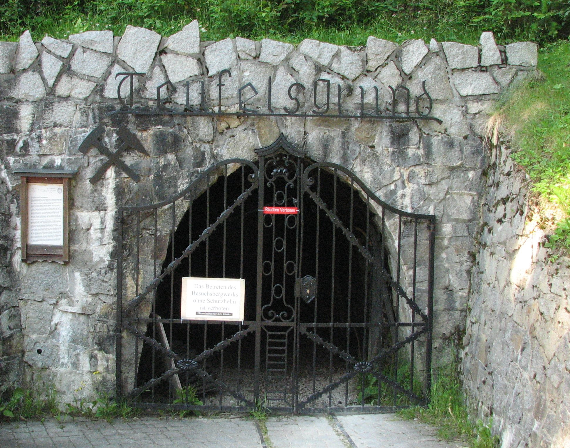
Teufelsgrund
Muenstertal/Schwarzwald, Germany
Die Grube Teufelsgrund im Münstertal war ein mittelalterliches Silber-, Kupfer- und Bleibergwerk, im 20. Jahrhundert wurde Flussspat abgebaut. Erster Abbau war vor dem Jahr 953, die endgültige Stilllegung erfolgte 1958. Seit 1970 wird die Grube als Besucherbergwerk betrieben.
- Category
- Urbex & Abandoned
- Location
- Muenstertal/Schwarzwald, Germany
- Coordinates
- 47.84527, 7.81996
- How to get there
- Google MapsApple MapsOpenStreetMap
- Wikidata
- Q1528670
What is Teufelsgrund?
Teufelsgrund is a Urbex & Abandoned place on VeroMaps. Other places close by: St. Trudpert's Abbey, Burg Scharfenstein (Black Forest), Finstergrund, St. Ulrich's Priory in the Black Forest.
Where is Teufelsgrund?
Teufelsgrund is in Muenstertal/Schwarzwald, Germany. Coordinates: 47.84527, 7.81996.
How do I get to Teufelsgrund?
Teufelsgrund is at Muenstertal/Schwarzwald, Germany (47.84527, 7.81996). Enter these coordinates in Google Maps, Apple Maps or OpenStreetMap for walking, cycling or driving directions.