Urbex & Abandoned
Krunkelbach valley uranium deposit
Bernau, Germany
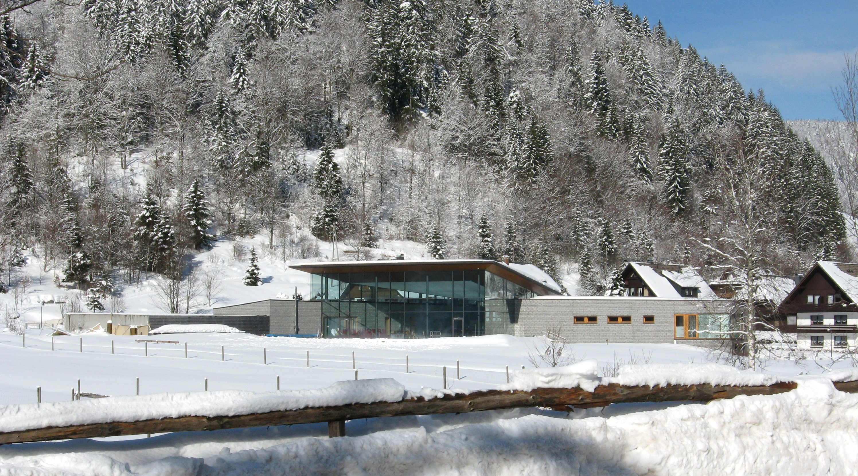
The Krunkelbach Pit (German: Grube Krunkelbach), also known as the Hans Paul Pit (Grube Hans Paul), was a mine established to investigate a uranium deposit in the High Black Forest near the municipality of Menzenschwand, today part of St. Blasien in the county of Waldshut in the south German state of Baden-Württemberg.
- Category
- Urbex & Abandoned
- Location
- Bernau, Germany
- Coordinates
- 47.83891, 8.04499
- How to get there
- Google MapsApple MapsOpenStreetMap
- Wikidata
- Q1550037
What is Krunkelbach valley uranium deposit?
Krunkelbach valley uranium deposit is a Urbex & Abandoned place on VeroMaps. Other places close by: Raimartihof, Todtnauer Hütte, Sender Feldberg, Parkhotel Adler.
Where is Krunkelbach valley uranium deposit?
Krunkelbach valley uranium deposit is in Bernau, Germany. Coordinates: 47.83891, 8.04499.
How do I get to Krunkelbach valley uranium deposit?
Krunkelbach valley uranium deposit is at Bernau, Germany (47.83891, 8.04499). Enter these coordinates in Google Maps, Apple Maps or OpenStreetMap for walking, cycling or driving directions.