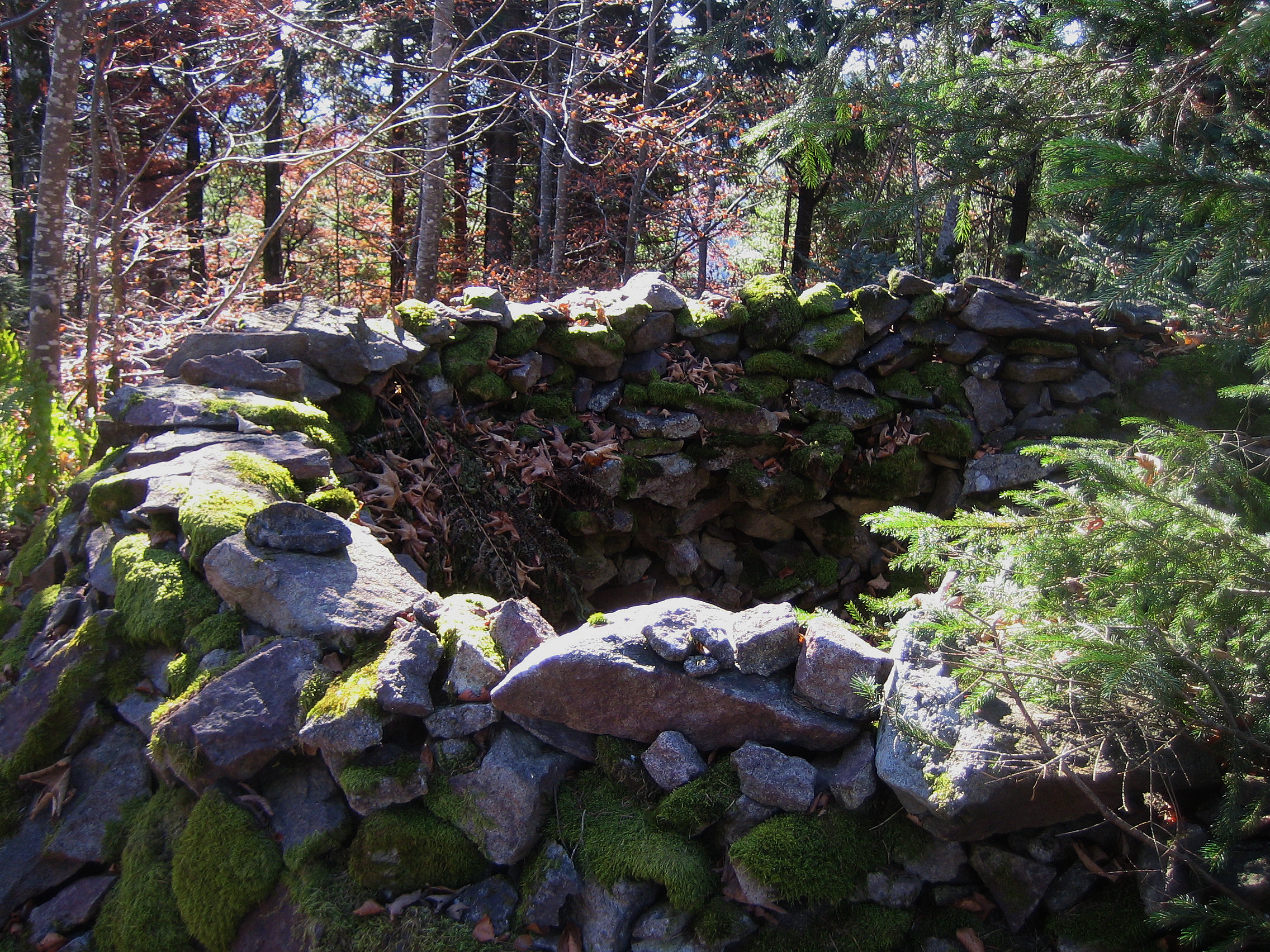
Forgotten History
Stockburg
Badenweiler, Germany
The Stockburg is a former hilltop castle at 1074.4 m above sea level. NN high mountain cone of the Stockberg between the valleys of Klemmbach and Kander on the district border between Badenweiler and Malsburg-Marzell in Baden-Württemberg.
- Category
- Forgotten History
- Location
- Badenweiler, Germany
- Coordinates
- 47.78356, 7.71714
- How to get there
- Google MapsApple MapsOpenStreetMap
- Wikidata
- Q1014140
What is Stockburg?
Stockburg is a Forgotten History place on VeroMaps. Other places close by: Sender Blauen, Burg Grüneck, Burg Badenweiler, Am brennten Buck Hillfort.
Where is Stockburg?
Stockburg is in Badenweiler, Germany. Coordinates: 47.78356, 7.71714.
How do I get to Stockburg?
Stockburg is at Badenweiler, Germany (47.78356, 7.71714). Enter these coordinates in Google Maps, Apple Maps or OpenStreetMap for walking, cycling or driving directions.