Forgotten History
Terningen skanse
Elverum Municipality, Norway
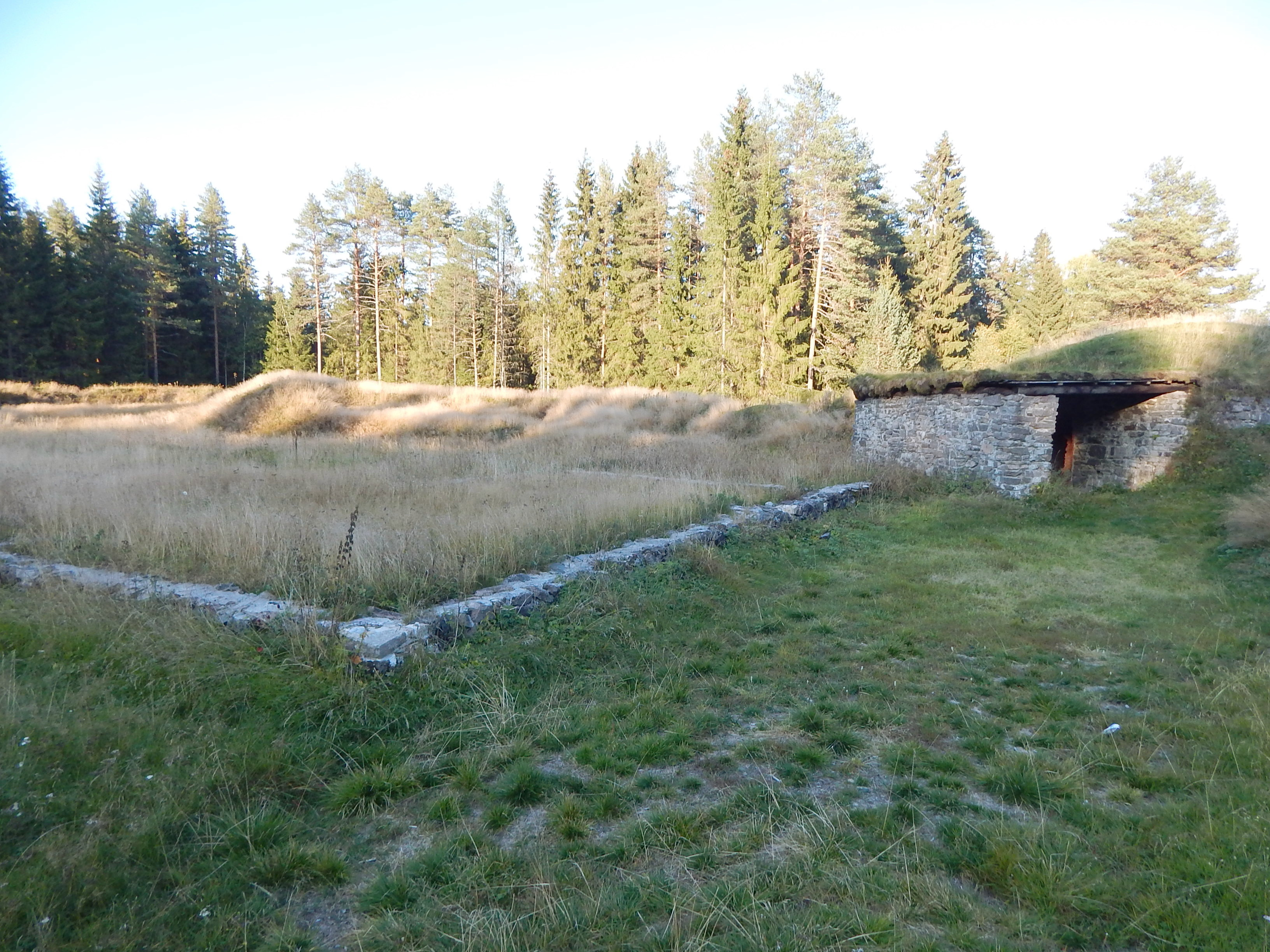
Terningen Skanse is a small fortification, a schanze. It is situated approximately 2 kilometres (1.2 mi) west of the town of Elverum, Elverumsleiret, in Innlandet county in eastern Norway. It guards the small river "Terningen", and was constructed as a defence against the Swedes. River Terningen and Terningen Skanse also lends its name to the current Norwegian army camp, situated about 50 m away; Terningmoen.
- Category
- Forgotten History
- Location
- Elverum Municipality, Norway
- Coordinates
- 60.88333, 11.50833
- How to get there
- Google MapsApple MapsOpenStreetMap
- Wikidata
- Q19392173
What is Terningen skanse?
Terningen skanse is a Forgotten History place on VeroMaps. Other places close by: Norrøna shoe factory, Hamarhus, Spålen–Katnosa Nature Reserve, Rudskulen.
Where is Terningen skanse?
Terningen skanse is in Elverum Municipality, Norway. Coordinates: 60.88333, 11.50833.
How do I get to Terningen skanse?
Terningen skanse is at Elverum Municipality, Norway (60.88333, 11.50833). Enter these coordinates in Google Maps, Apple Maps or OpenStreetMap for walking, cycling or driving directions.