Forgotten History
Akershus Fortress
Oslo Municipality, Norway
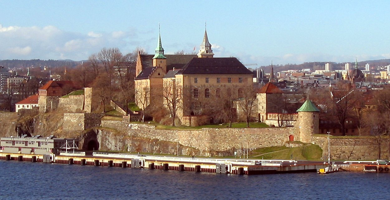
Akershus Fortress (Norwegian: Akershus Festning, pronounced [ɑkəʂˈhʉːs ˈfɛ̂sːtnɪŋ]) or Akershus Castle (Norwegian: Akershus slott [ɑkəʂˈhʉːs ˈslɔtː]) is a medieval castle in the Norwegian capital Oslo that was built to protect and provide a royal residence for the city. It is located on the banks of the Oslofjord. Since the Middle Ages the fortress has been the namesake and centre of the main fief and later main county of Akershus, which was originally one of Norway's four main regions and which included most of Eastern Norway. The fortress itself was located within the Akershus main county until 1919, and within the smaller Akershus sub-county until 1842. The castle has also been used as a military base, a prison and is currently the temporary office of the prime minister of Norway.
- Category
- Forgotten History
- Location
- Oslo Municipality, Norway
- Coordinates
- 59.90661, 10.73625
- How to get there
- Google MapsApple MapsOpenStreetMap
- Wikidata
- Q644464
What is Akershus Fortress?
Akershus Fortress is a Forgotten History place on VeroMaps. Other places close by: Engebret Café, Statholdergaarden, Saras Telt, Regnbuen.
Where is Akershus Fortress?
Akershus Fortress is in Oslo Municipality, Norway. Coordinates: 59.90661, 10.73625.
How do I get to Akershus Fortress?
Akershus Fortress is at Oslo Municipality, Norway (59.90661, 10.73625). Enter these coordinates in Google Maps, Apple Maps or OpenStreetMap for walking, cycling or driving directions.