Photo corners
Spålen–Katnosa Nature Reserve
Ringerike, Norway
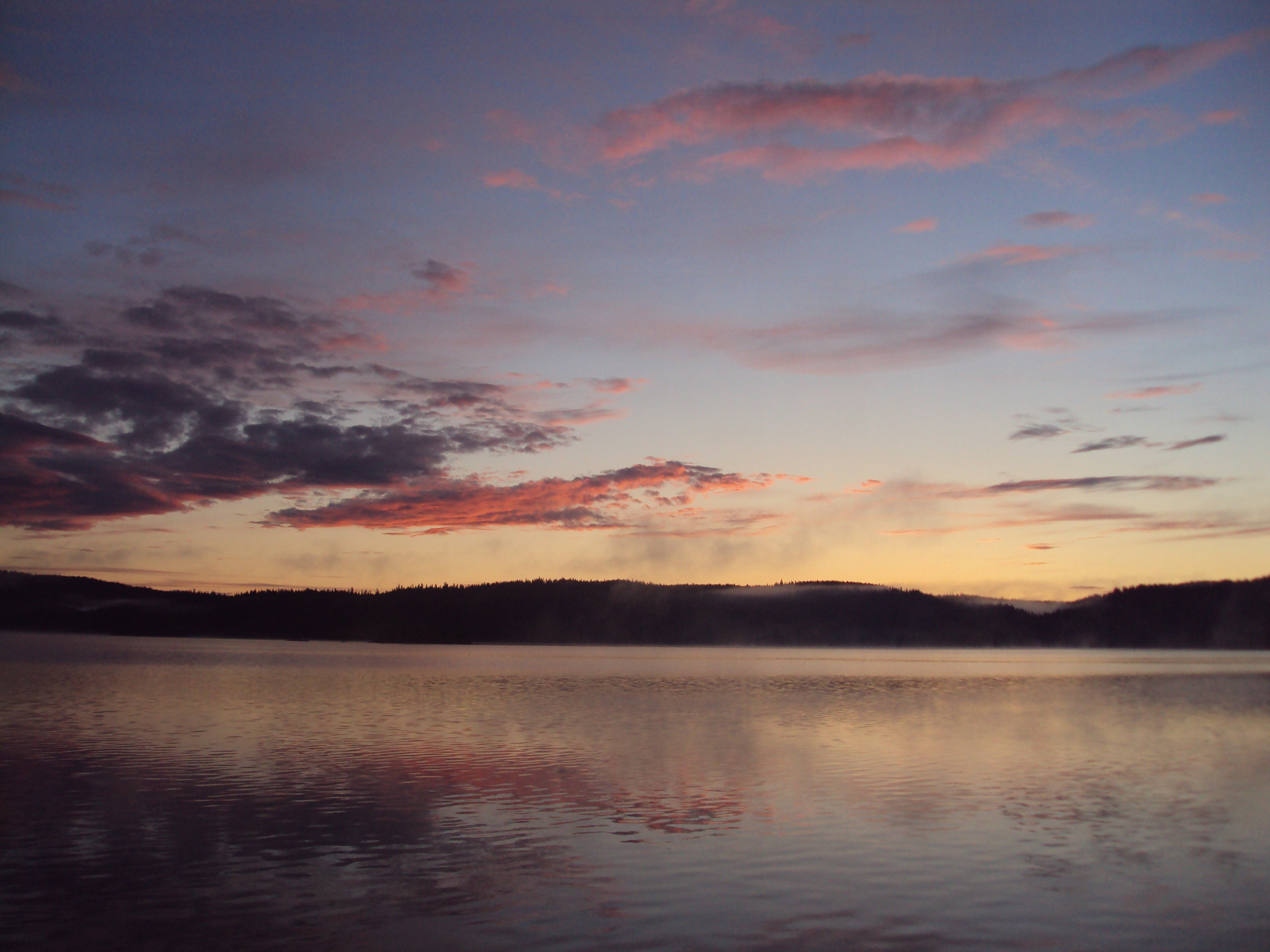
Spålen–Katnosa Nature Reserve is a nature reserve in Nordmarka, Norway. It was established in 1995 and encompasses portions of the municipalities Lunner and Jevnaker in Akershus and of Ringerike in Buskerud. The area is characterised by forested hills dominated by spruce. The reserve covers an area of 18 km2 principally of woods and wetlands, including lake Katnosa.
- Category
- Photo Spots
- Location
- Ringerike, Norway
- Coordinates
- 60.16667, 10.53333
- How to get there
- Google MapsApple MapsOpenStreetMap
- Wikidata
- Q7581832
What is Spålen–Katnosa Nature Reserve?
Spålen–Katnosa Nature Reserve is a Photo Spots place on VeroMaps. Other places close by: Sogn gruve, Kjelsås Bruk, Livshjulet, Furulund Bunker.
Where is Spålen–Katnosa Nature Reserve?
Spålen–Katnosa Nature Reserve is in Ringerike, Norway. Coordinates: 60.16667, 10.53333.
How do I get to Spålen–Katnosa Nature Reserve?
Spålen–Katnosa Nature Reserve is at Ringerike, Norway (60.16667, 10.53333). Enter these coordinates in Google Maps, Apple Maps or OpenStreetMap for walking, cycling or driving directions.