Night Life
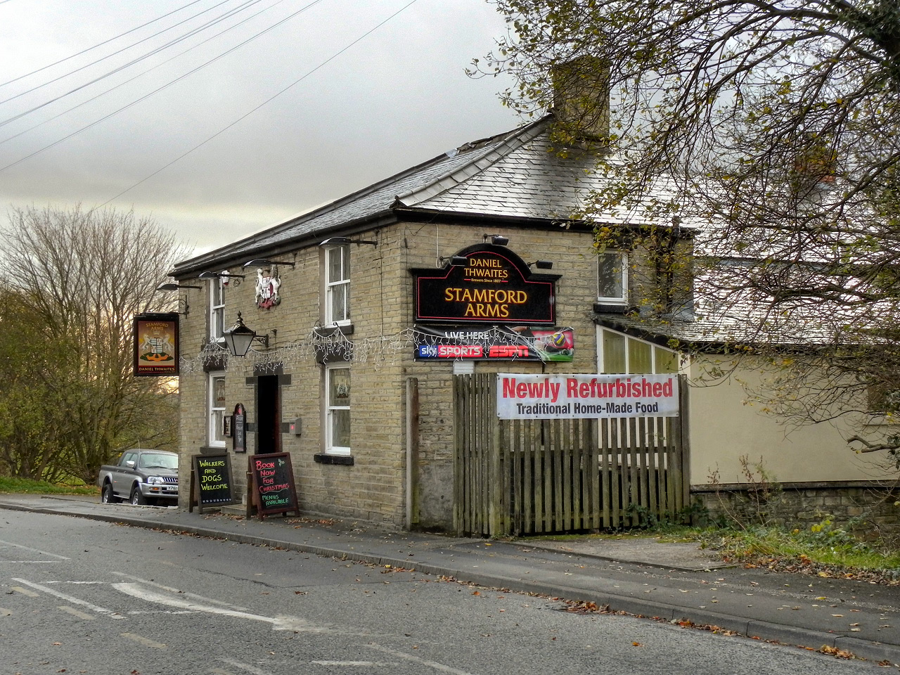
Stamford Arms
Oxford, United Kingdom
The Stamford Arms is a Grade II listed public house on Huddersfield Road in Carrbrook, a village east of Stalybridge in Tameside, Greater Manchester, England. Built in the mid-18th century and extended in the 19th century, it is shown as the Stamford Arms pub on the 1875 and 1935 Ordnance Survey maps. As of 2026, its freehold is owned by Thwaites Brewery.
- Category
- Night Life
- Location
- Oxford, United Kingdom
- Coordinates
- 53.50897, -2.02860
- How to get there
- Google MapsApple MapsOpenStreetMap
- Wikidata
- Q26320785
What is Stamford Arms?
Stamford Arms is a Night Life place on VeroMaps. Other places close by: The Witchwood, Gun Inn, Godley Hall Public House, Halal Inn.
Where is Stamford Arms?
Stamford Arms is in Oxford, United Kingdom. Coordinates: 53.50897, -2.02860.
How do I get to Stamford Arms?
Stamford Arms is at Oxford, United Kingdom (53.50897, -2.02860). Enter these coordinates in Google Maps, Apple Maps or OpenStreetMap for walking, cycling or driving directions.