Night Life
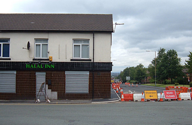
Halal Inn
Oxford, United Kingdom
The Halal Inn was an alcohol free inn and temperance bar on Featherstall Road in Oldham, Greater Manchester, England. It was designed for Muslims and opened in December 2007. The owners bought and converted the former Westwood Inn. The bar served soft drinks, fruit juice, non-alcoholic spritzers, tea, and coffee, but no alcohol.
- Category
- Night Life
- Location
- Oxford, United Kingdom
- Coordinates
- 53.54270, -2.12910
- How to get there
- Google MapsApple MapsOpenStreetMap
- Wikidata
- Q16993559
What is Halal Inn?
Halal Inn is a Night Life place on VeroMaps. Other places close by: Pack Horse Inn, Ye Olde Boars Head Public House, The Witchwood, Clayton Hall.
Where is Halal Inn?
Halal Inn is in Oxford, United Kingdom. Coordinates: 53.54270, -2.12910.
How do I get to Halal Inn?
Halal Inn is at Oxford, United Kingdom (53.54270, -2.12910). Enter these coordinates in Google Maps, Apple Maps or OpenStreetMap for walking, cycling or driving directions.