Night Life
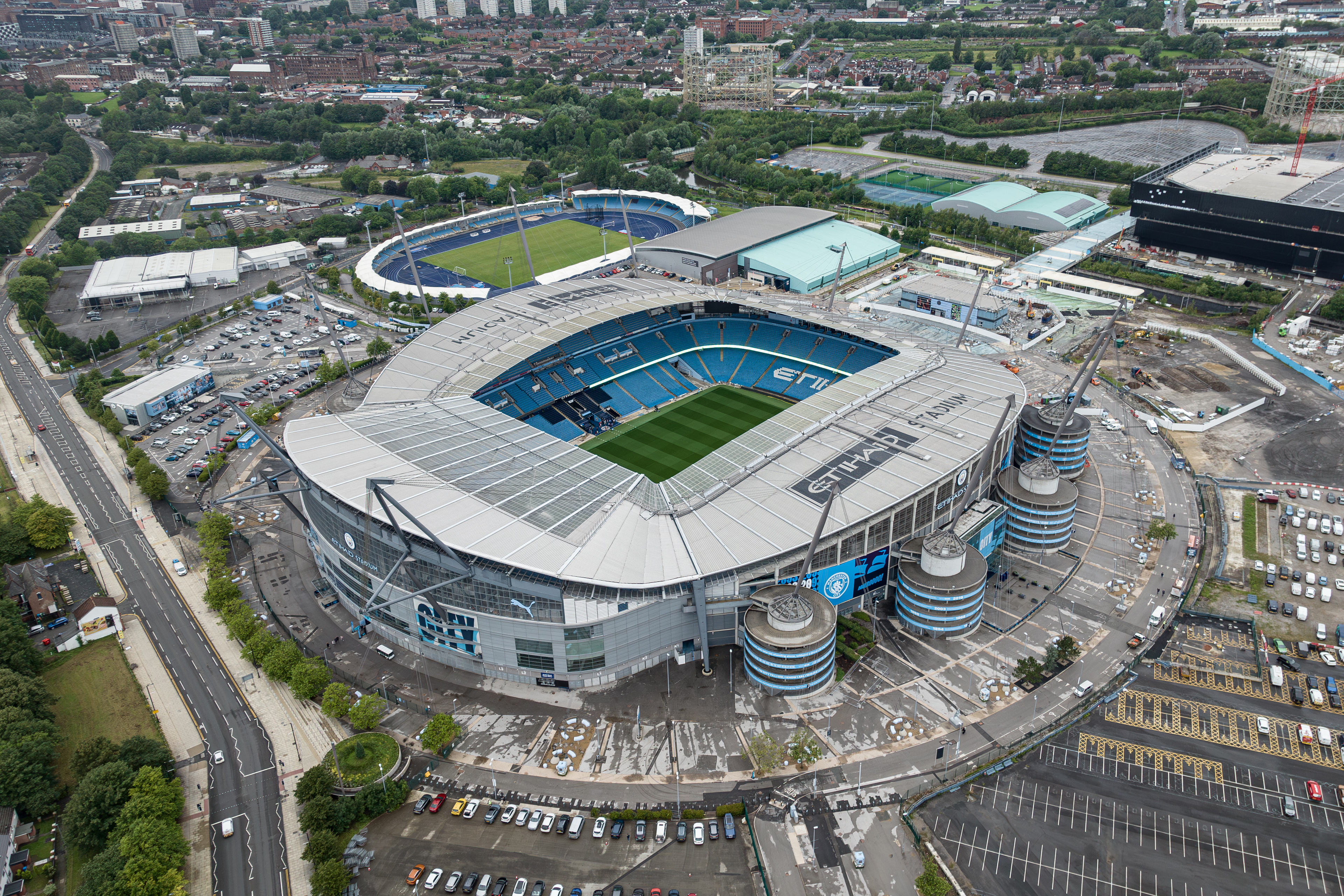
Etihad Stadium
Oxford, United Kingdom
The Etihad Stadium (formerly known as City of Manchester Stadium before being renamed for sponsorship reasons) is the home of Premier League club Manchester City, with a domestic football capacity of 61,038, making it the 6th-largest football stadium in England and 8th-largest stadium in the United Kingdom.
- Category
- Night Life
- Location
- Oxford, United Kingdom
- Address
- Alan Turing Way, Oxford
- Coordinates
- 53.48306, -2.20028
- How to get there
- Google MapsApple MapsOpenStreetMap
- Wikidata
- Q48159
What is Etihad Stadium?
Etihad Stadium is a Night Life place on VeroMaps, on Alan Turing Way. Other places close by: Clayton Hall, Crown And Kettle Public House, The City Public House, The Brunswick Hotel.
Where is Etihad Stadium?
Etihad Stadium is in Oxford, United Kingdom. Coordinates: 53.48306, -2.20028.
How do I get to Etihad Stadium?
Etihad Stadium is at Alan Turing Way, Oxford, United Kingdom (53.48306, -2.20028). Enter these coordinates in Google Maps, Apple Maps or OpenStreetMap for walking, cycling or driving directions.