Photo corners
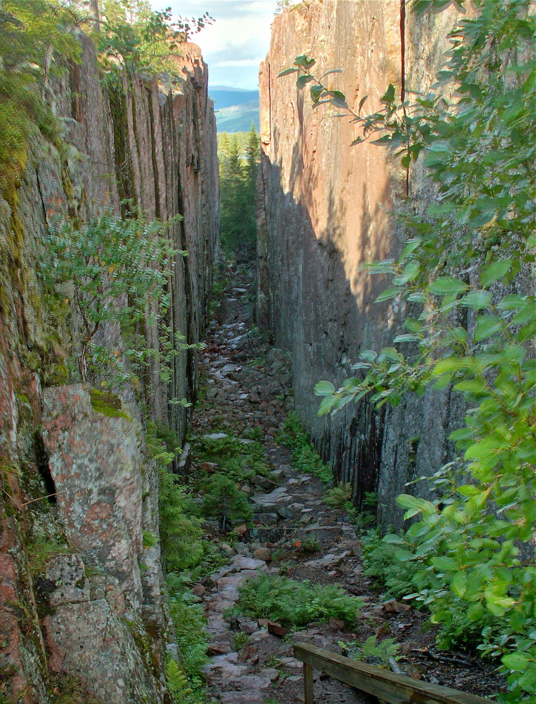
Skuleskogen National Park
Örnsköldsvik Municipality, Sweden
Skuleskogen National Park (Swedish: Skuleskogens nationalpark, literally The Skule Forest National Park) is a Swedish national park in Västernorrland County, on the coast of the Baltic Sea, in northern Sweden. It covers 30. 62 km2 (11. 82 mi2), constituting the eastern part of the Forest of Skule.
- Category
- Photo Spots
- Location
- Örnsköldsvik Municipality, Sweden
- Coordinates
- 63.11098, 18.48417
- How to get there
- Google MapsApple MapsOpenStreetMap
- Wikidata
- Q1754183
What is Skuleskogen National Park?
Skuleskogen National Park is a Photo Spots place on VeroMaps. Other places close by: Skuleberget, Billaberget, Högbonden lighthouse, Kålhuvudet.
Where is Skuleskogen National Park?
Skuleskogen National Park is in Örnsköldsvik Municipality, Sweden. Coordinates: 63.11098, 18.48417.
How do I get to Skuleskogen National Park?
Skuleskogen National Park is at Örnsköldsvik Municipality, Sweden (63.11098, 18.48417). Enter these coordinates in Google Maps, Apple Maps or OpenStreetMap for walking, cycling or driving directions.