Photo corners
Kålhuvudet
Örnsköldsvik Municipality, Sweden
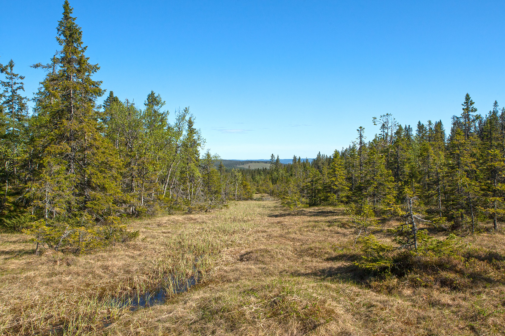
Kålhuvudet or the Kålhuvudets Nature Reserve is situated in Örnsköldsvik Municipality, in Björna parish of Västernorrland County in northern Sweden. It is located 7 km southwest of Hemling and covers 770 hectares.
- Category
- Photo Spots
- Location
- Örnsköldsvik Municipality, Sweden
- Coordinates
- 63.63399, 18.42025
- How to get there
- Google MapsApple MapsOpenStreetMap
- Wikidata
- Q10551996
What is Kålhuvudet?
Kålhuvudet is a Photo Spots place on VeroMaps. Other places close by: Bågaliden, Hemlingsån, Billaberget, Björnlandet National Park.
Where is Kålhuvudet?
Kålhuvudet is in Örnsköldsvik Municipality, Sweden. Coordinates: 63.63399, 18.42025.
How do I get to Kålhuvudet?
Kålhuvudet is at Örnsköldsvik Municipality, Sweden (63.63399, 18.42025). Enter these coordinates in Google Maps, Apple Maps or OpenStreetMap for walking, cycling or driving directions.