Photo corners
Mossaträsk-Stormyran
Örnsköldsvik Municipality, Sweden
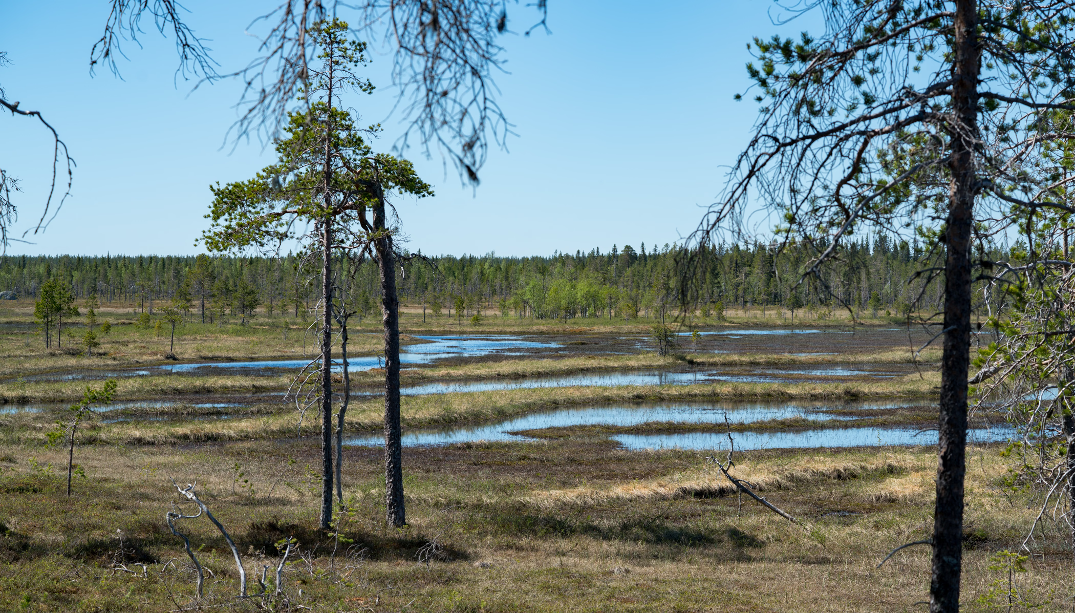
Das Mossaträsk-Stormyran ist ein Hochmoor, dass auf einer Höhe von 425 bis 460 m ö. h. zehn Kilometer nordwestlich von Solberg im Inneren der Gemeinde Örnsköldsvik liegt. Das Schutzgebiet hat eine Fläche von neunhundert Hektar, ist neben einem Naturreservat auch Natura-2000-Gebiet und wurde auf die Ramsar-Liste aufgenommen.
- Category
- Photo Spots
- Location
- Örnsköldsvik Municipality, Sweden
- Coordinates
- 63.83449, 17.30306
- How to get there
- Google MapsApple MapsOpenStreetMap
- Wikidata
- Q1949435
What is Mossaträsk-Stormyran?
Mossaträsk-Stormyran is a Photo Spots place on VeroMaps. Other places close by: Björnlandet National Park, Hemlingsån, Bågaliden, Kålhuvudet.
Where is Mossaträsk-Stormyran?
Mossaträsk-Stormyran is in Örnsköldsvik Municipality, Sweden. Coordinates: 63.83449, 17.30306.
How do I get to Mossaträsk-Stormyran?
Mossaträsk-Stormyran is at Örnsköldsvik Municipality, Sweden (63.83449, 17.30306). Enter these coordinates in Google Maps, Apple Maps or OpenStreetMap for walking, cycling or driving directions.