Photo corners
Schlossbrücke
Berlin, Germany
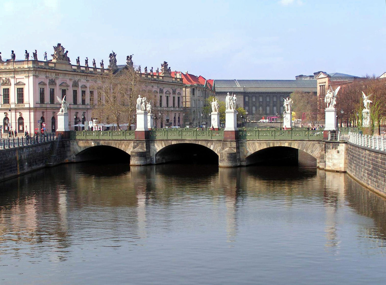
Schlossbrücke (German: Schloßbrücke) is a bridge in the central Mitte district of Berlin, Germany. Built between 1821 and 1824 according to plans designed by Karl Friedrich Schinkel, it was named after the nearby City Palace (Stadtschloss). The bridge marks the eastern end of the Unter den Linden boulevard. The monumental figures on the three-arched bridge were created to commemorate the Wars of Liberation. They depict warriors and goddesses of victory and reference the statues of generals and reliefs of Victory at the Neue Wache. After the Second World War, the damaged bridge was restored, and the removed figures were reinstalled in 1983–1984.
- Category
- Photo Spots
- Location
- Berlin, Germany
- Coordinates
- 52.51750, 13.39861
- How to get there
- Google MapsApple MapsOpenStreetMap
- Wikidata
- Q459161
What is Schlossbrücke?
Schlossbrücke is a Photo Spots place on VeroMaps. Other places close by: Berlin Adorant, Cafe Hélms, Samian Hoplite, Eiserne Bridge.
Where is Schlossbrücke?
Schlossbrücke is in Berlin, Germany. Coordinates: 52.51750, 13.39861.
How do I get to Schlossbrücke?
Schlossbrücke is at Berlin, Germany (52.51750, 13.39861). Enter these coordinates in Google Maps, Apple Maps or OpenStreetMap for walking, cycling or driving directions.