Photo corners
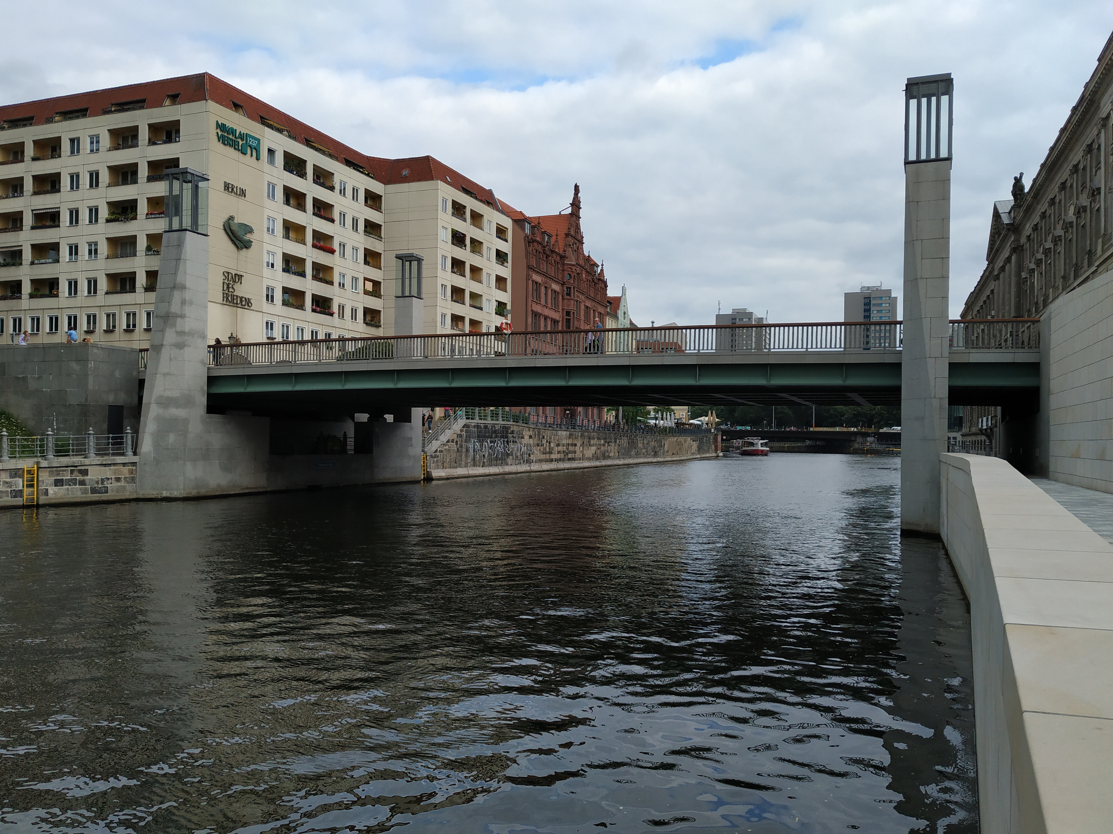
Rathaus Bridge
Bezirk Mitte, Germany
Rathaus Bridge (German: Rathausbrücke, "Town Hall Bridge") is a bridge in the central Mitte district of Berlin, Germany. Rebuilt in 2012, it is one of the oldest connections between the historic city centres of Alt-Berlin and Cölln across the Spree river. It is named after the nearby Rotes Rathaus city hall.
- Category
- Photo Spots
- Location
- Bezirk Mitte, Germany
- Coordinates
- 52.51710, 13.40400
- How to get there
- Google MapsApple MapsOpenStreetMap
- Wikidata
- Q2132660
What is Rathaus Bridge?
Rathaus Bridge is a Photo Spots place on VeroMaps. Other places close by: Zum Nußbaum, Zur Rippe, Cafe Hélms, Palasthotel.
Where is Rathaus Bridge?
Rathaus Bridge is in Bezirk Mitte, Germany. Coordinates: 52.51710, 13.40400.
How do I get to Rathaus Bridge?
Rathaus Bridge is at Bezirk Mitte, Germany (52.51710, 13.40400). Enter these coordinates in Google Maps, Apple Maps or OpenStreetMap for walking, cycling or driving directions.