Forgotten History
Palais am Festungsgraben
Bezirk Mitte, Germany
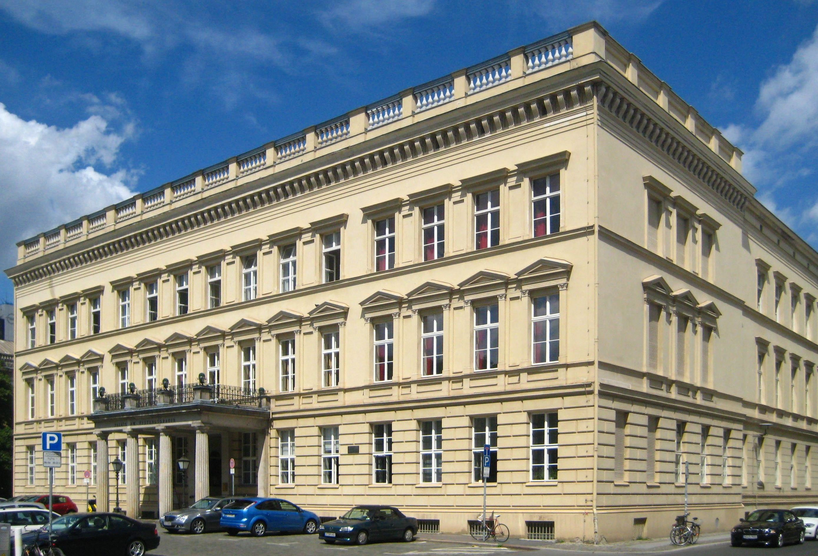
The Palais am Festungsgraben ("Palace on the Moat"), originally known as the Palais Donner, is a stately building in Berlin's Mitte subdistrict located behind, and facing, the ensemble of chestnut trees around the Neue Wache ("New Guardhause"), near the eastern terminus of the boulevard Unter den Linden. The name refers to its construction next to a redundant canal, gradually filled in by 1883, which had originally been a moat surrounding the 17th century city wall. Built as a private residence, it later housed a succession of Prussian government offices, and after World War II various cultural institutions in the Soviet sector of Berlin. After administrative authority was transferred to the newly established German Democratic Republic (GDR) in 1949 it hosted a succession of institutions established to further German-Russian contacts.
- Category
- Forgotten History
- Location
- Bezirk Mitte, Germany
- Coordinates
- 52.51890, 13.39560
- How to get there
- Google MapsApple MapsOpenStreetMap
- Wikidata
- Q114742
What is Palais am Festungsgraben?
Palais am Festungsgraben is a Forgotten History place on VeroMaps. Other places close by: Still Eilhard Mitscherlich, Eiserne Bridge, Berlin Adorant, Statue of Alexander von Humboldt, Berlin.
Where is Palais am Festungsgraben?
Palais am Festungsgraben is in Bezirk Mitte, Germany. Coordinates: 52.51890, 13.39560.
How do I get to Palais am Festungsgraben?
Palais am Festungsgraben is at Bezirk Mitte, Germany (52.51890, 13.39560). Enter these coordinates in Google Maps, Apple Maps or OpenStreetMap for walking, cycling or driving directions.