Urbex & Abandoned
Jełguń
Gmina Stawiguda, Poland
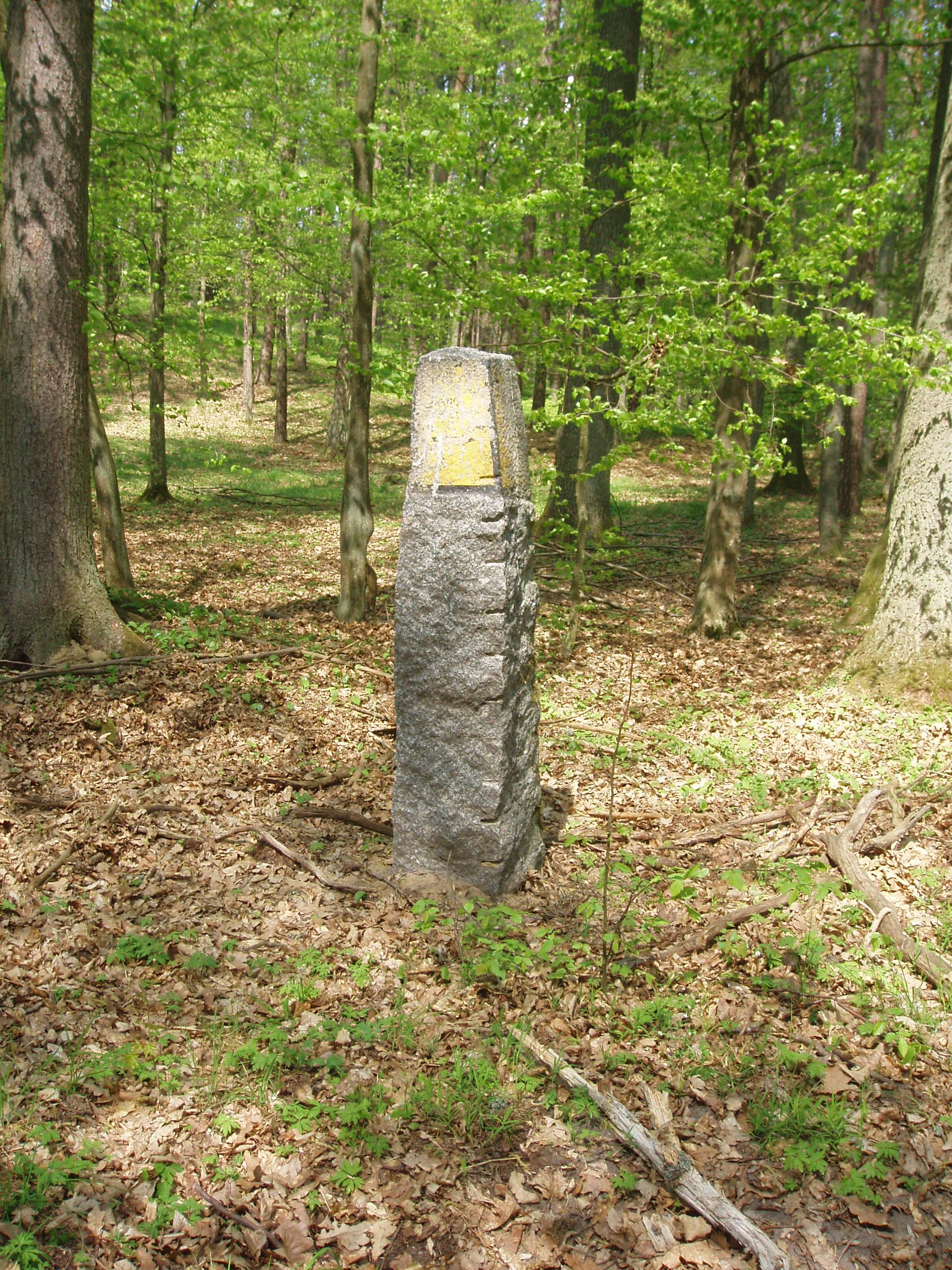
Jełguń (deutsch Gelguhnen) ist eine Dorfwüstung und ein Flurname in der südlichen Woiwodschaft Ermland-Masuren. Sie gehört zur Gmina Stawiguda (Landgemeinde Stabigotten) im Powiat Olsztyński (Kreis Allenstein) im Nordosten Polens. Die Wüstung Jełguń ist heute kaum noch kenntlich.
- Category
- Urbex & Abandoned
- Location
- Gmina Stawiguda, Poland
- Coordinates
- 53.65390, 20.53530
- How to get there
- Google MapsApple MapsOpenStreetMap
- Wikidata
- Q11727083
What is Jełguń?
Jełguń is a Urbex & Abandoned place on VeroMaps. Other places close by: Olsztyn Observatory, 5 Staszica Street in Olsztyn, Holy Cross chapel in Olsztyn, Castle of Warmian Bishops in Olsztyn.
Where is Jełguń?
Jełguń is in Gmina Stawiguda, Poland. Coordinates: 53.65390, 20.53530.
How do I get to Jełguń?
Jełguń is at Gmina Stawiguda, Poland (53.65390, 20.53530). Enter these coordinates in Google Maps, Apple Maps or OpenStreetMap for walking, cycling or driving directions.