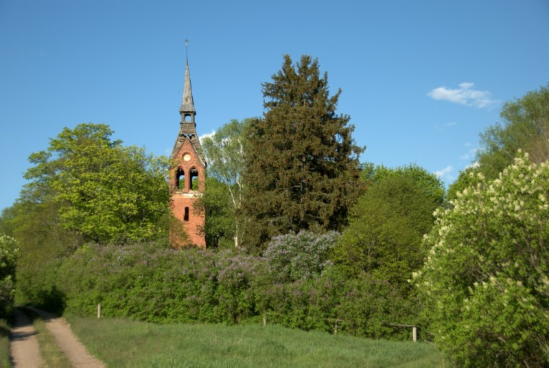
Urbex & Abandoned
Małga
Gmina Jedwabno, Poland
Małga ['malga] (deutsch Malga) ist seit dem Jahr 1954 eine Dorfwüstung in der Gmina Jedwabno (1938 bis 1945 Gedwangen) im Powiat Szczycieński (Kreis Ortelsburg). Sie liegt in der Woiwodschaft Ermland-Masuren im Nordosten Polens.
- Category
- Urbex & Abandoned
- Location
- Gmina Jedwabno, Poland
- Coordinates
- 53.46000, 20.75250
- How to get there
- Google MapsApple MapsOpenStreetMap
- Wikidata
- Q134375852
What is Małga?
Małga is a Urbex & Abandoned place on VeroMaps. Other places close by: Water tower in Pasym, Jełguń, Olsztyn Observatory, 5 Staszica Street in Olsztyn.
Where is Małga?
Małga is in Gmina Jedwabno, Poland. Coordinates: 53.46000, 20.75250.
How do I get to Małga?
Małga is at Gmina Jedwabno, Poland (53.46000, 20.75250). Enter these coordinates in Google Maps, Apple Maps or OpenStreetMap for walking, cycling or driving directions.