Photo corners
Roydon Fen
United Kingdom
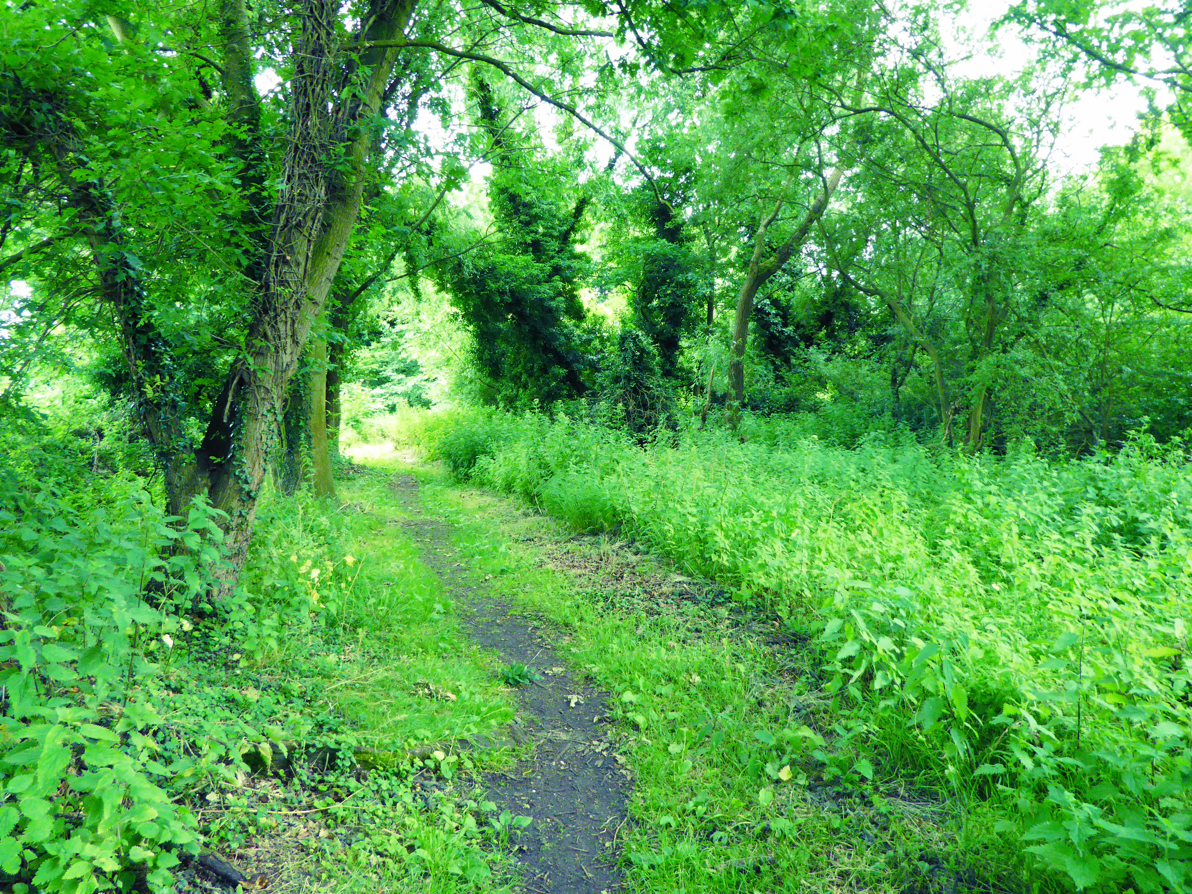
Roydon Fen is a 17.2 hectare Local Nature Reserve south of Roydon, on the western outskirts of Diss in Norfolk. It is owned by South Norfolk District Council and managed by the Suffolk Wildlife Trust. This site was taken over by wet woodland in the twentieth century, but the Trust has restored the eastern end to fen by mowing, and it has many typical fen plants such as marsh helleborine, marsh fragrant orchid and sawsedge. There is access from the Angles Way footpath, which runs along the northern boundary of the site.
- Category
- Photo Spots
- Location
- United Kingdom
- Coordinates
- 52.37500, 1.08600
- How to get there
- Google MapsApple MapsOpenStreetMap
- Wikidata
- Q7375210
What is Roydon Fen?
Roydon Fen is a Photo Spots place on VeroMaps. Other places close by: Redgrave and Lopham Fen, Mellis Common, Blo' Norton and Thelnetham Fen, Hoxne Priory.
Where is Roydon Fen?
Roydon Fen is in United Kingdom. Coordinates: 52.37500, 1.08600.
How do I get to Roydon Fen?
Roydon Fen is at United Kingdom (52.37500, 1.08600). Enter these coordinates in Google Maps, Apple Maps or OpenStreetMap for walking, cycling or driving directions.