Photo corners
Mickle Mere
Cambridge, United Kingdom
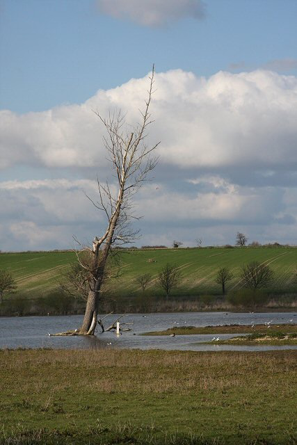
Mickle Mere is a 17-hectare (42-acre) nature reserve south of Ixworth in Suffolk. It is managed by the Suffolk Wildlife Trust. This area of open water and wet meadows has diverse bird life such as lapwings, kestrels, little egrets and reed buntings, as well as mammals like water voles and otters. There is access from Mill Road.
- Category
- Photo Spots
- Location
- Cambridge, United Kingdom
- Coordinates
- 52.29200, 0.84000
- How to get there
- Google MapsApple MapsOpenStreetMap
- Wikidata
- Q6838864
What is Mickle Mere?
Mickle Mere is a Photo Spots place on VeroMaps. Other places close by: The Old Cannon Brewery, Bury St Edmunds Abbey, Market Weston Fen, Knettishall Heath.
Where is Mickle Mere?
Mickle Mere is in Cambridge, United Kingdom. Coordinates: 52.29200, 0.84000.
How do I get to Mickle Mere?
Mickle Mere is at Cambridge, United Kingdom (52.29200, 0.84000). Enter these coordinates in Google Maps, Apple Maps or OpenStreetMap for walking, cycling or driving directions.