Photo corners
Hopton Fen
United Kingdom
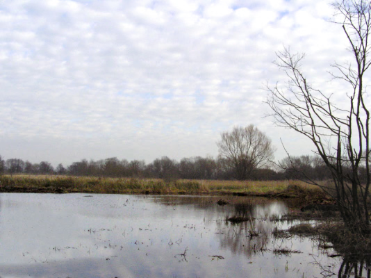
Hopton Fen is a 15. 3-hectare (38-acre) biological Site of Special Scientific Interest north of Hopton in Suffolk. It is managed by the Suffolk Wildlife Trust. This reed-dominated fen has diverse flora, including devil's bit scabious, black bog-rush, bogbeana and early marsh orchid.
- Category
- Photo Spots
- Location
- United Kingdom
- Coordinates
- 52.38200, 0.92300
- How to get there
- Google MapsApple MapsOpenStreetMap
- Wikidata
- Q5901341
What is Hopton Fen?
Hopton Fen is a Photo Spots place on VeroMaps. Other places close by: Market Weston Fen, Blo' Norton and Thelnetham Fen, Knettishall Heath, Redgrave and Lopham Fen.
Where is Hopton Fen?
Hopton Fen is in United Kingdom. Coordinates: 52.38200, 0.92300.
How do I get to Hopton Fen?
Hopton Fen is at United Kingdom (52.38200, 0.92300). Enter these coordinates in Google Maps, Apple Maps or OpenStreetMap for walking, cycling or driving directions.