Urbex & Abandoned
Röhrigschacht
Sangerhausen, Germany
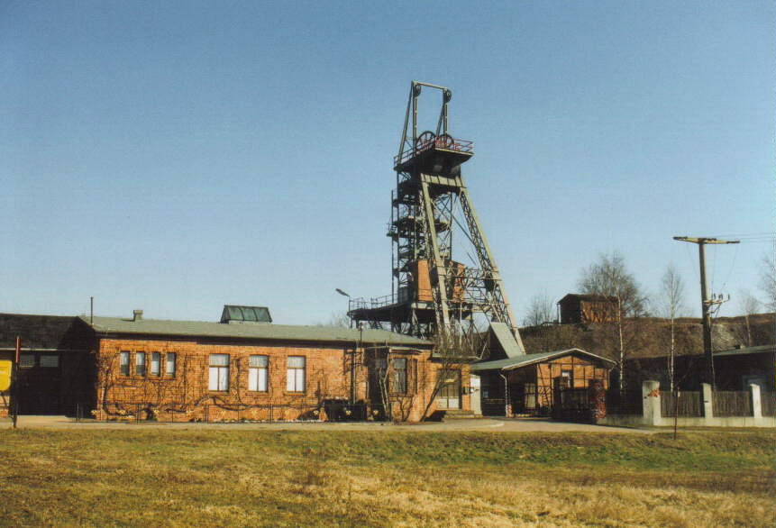
The Röhrigschacht ("Röhrig Shaft") is an old copper slate mine which is now a mining museum and show mine in the village of Wettelrode in the county of Mansfeld-Südharz in the German state of Saxony-Anhalt.
- Category
- Urbex & Abandoned
- Location
- Sangerhausen, Germany
- Coordinates
- 51.51740, 11.28250
- How to get there
- Google MapsApple MapsOpenStreetMap
- Wikidata
- Q1649952
What is Röhrigschacht?
Röhrigschacht is a Urbex & Abandoned place on VeroMaps. Other places close by: Moltke Watchtower, Grillenburg, Hohenrode, Burg Alt-Morungen.
Where is Röhrigschacht?
Röhrigschacht is in Sangerhausen, Germany. Coordinates: 51.51740, 11.28250.
How do I get to Röhrigschacht?
Röhrigschacht is at Sangerhausen, Germany (51.51740, 11.28250). Enter these coordinates in Google Maps, Apple Maps or OpenStreetMap for walking, cycling or driving directions.