Urbex & Abandoned
Hohenrode
Mansfeld-Südharz District, Germany
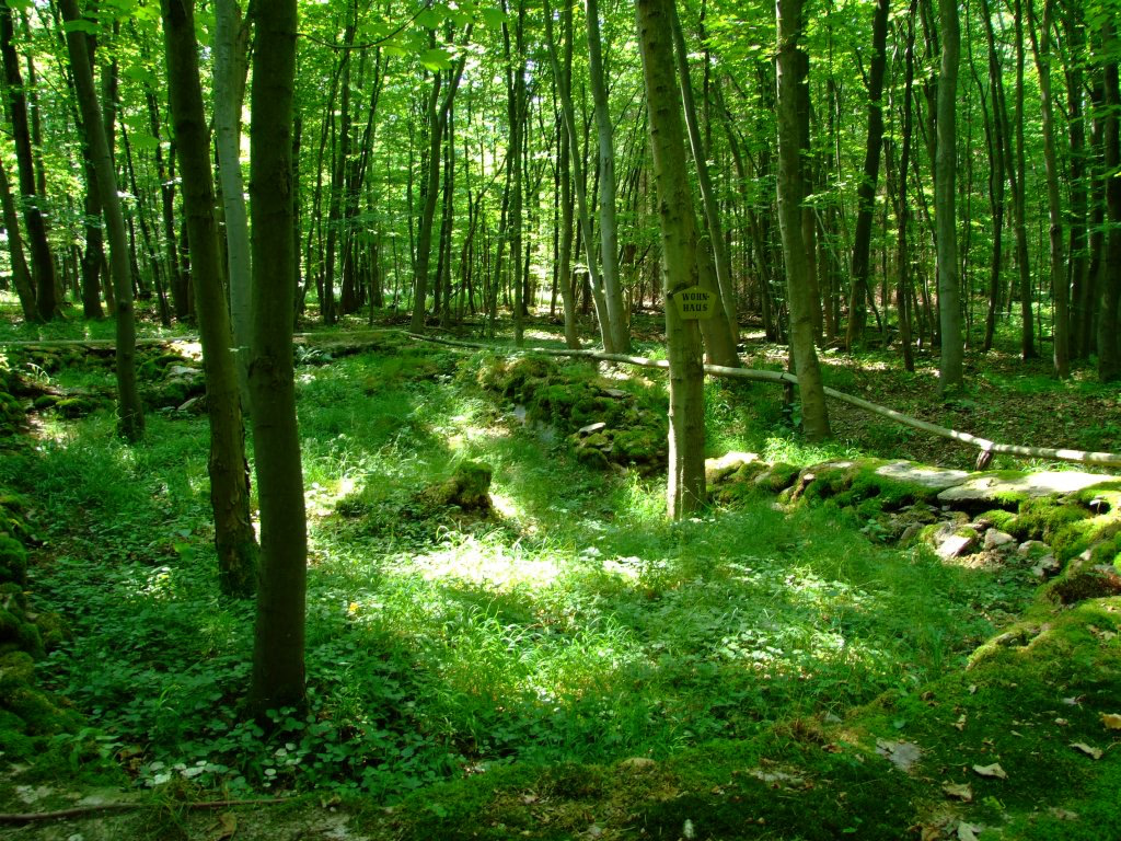
Hohenrode nahe Grillenberg im sachsen-anhaltischen Landkreis Mansfeld-Südharz ist eine mittelalterliche Wüstung im Harz. Die Wüstung ist im örtlichen Denkmalverzeichnis als Bodendenkmal eingetragen.
- Category
- Urbex & Abandoned
- Location
- Mansfeld-Südharz District, Germany
- Coordinates
- 51.54397, 11.29956
- How to get there
- Google MapsApple MapsOpenStreetMap
- Wikidata
- Q1623785
What is Hohenrode?
Hohenrode is a Urbex & Abandoned place on VeroMaps. Other places close by: Grillenburg, Röhrigschacht, Burg Neu-Morungen, Burg Alt-Morungen.
Where is Hohenrode?
Hohenrode is in Mansfeld-Südharz District, Germany. Coordinates: 51.54397, 11.29956.
How do I get to Hohenrode?
Hohenrode is at Mansfeld-Südharz District, Germany (51.54397, 11.29956). Enter these coordinates in Google Maps, Apple Maps or OpenStreetMap for walking, cycling or driving directions.