Urbex & Abandoned
Hüttenstollen
Friedrichsbrunn, Germany
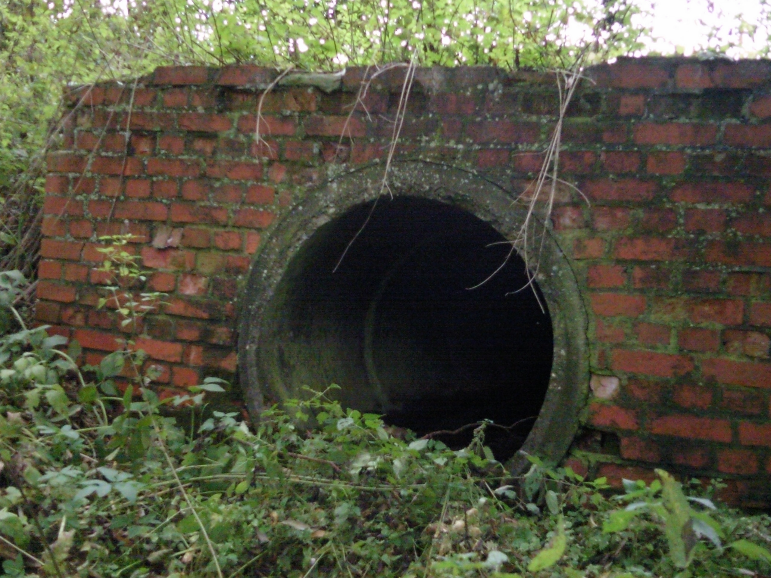
The Hüttenstollen, also Straßberger Hüttenstollen, was the central drainage adit (tunnel) in the Straßberg mining field and was also part of the Lower Harz Pond and Ditch System in the Harz Mountains of Germany. The adit lies at a depth of 50 m (160 ft) and is 750 m (2,460 ft) long.
- Category
- Urbex & Abandoned
- Location
- Friedrichsbrunn, Germany
- Coordinates
- 51.61850, 11.05170
- How to get there
- Google MapsApple MapsOpenStreetMap
- Wikidata
- Q1652623
What is Hüttenstollen?
Hüttenstollen is a Urbex & Abandoned place on VeroMaps. Other places close by: Glasebach Pit, Rinkemühle, Joseph Cross, Güntersburg.
Where is Hüttenstollen?
Hüttenstollen is in Friedrichsbrunn, Germany. Coordinates: 51.61850, 11.05170.
How do I get to Hüttenstollen?
Hüttenstollen is at Friedrichsbrunn, Germany (51.61850, 11.05170). Enter these coordinates in Google Maps, Apple Maps or OpenStreetMap for walking, cycling or driving directions.