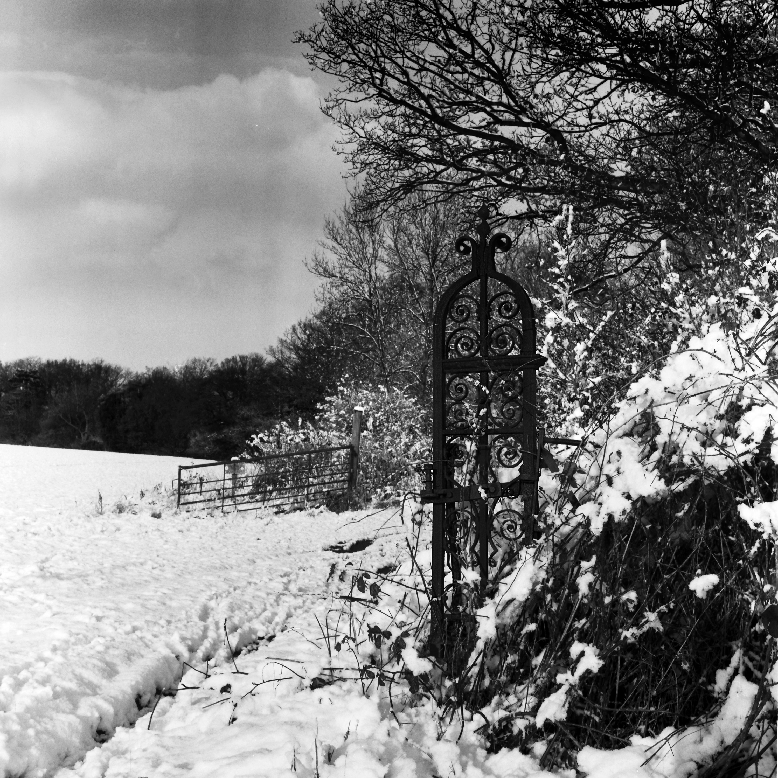
Forgotten History
Pyrgo Park
Collier Row, United Kingdom
Pyrgo Park is a park at Havering-atte-Bower in the London Borough of Havering, England. It is the site of the former Pirgo Palace, built before 1540 and demolished by 1814; and of Pyrgo House, built 1852, which lasted less than a century. Pyrgo is one of three large parklands in Havering-atte-Bower, the others being Bedfords Park and Havering Country Park.
- Category
- Forgotten History
- Location
- Collier Row, United Kingdom
- Coordinates
- 51.61950, 0.19900
- How to get there
- Google MapsApple MapsOpenStreetMap
- Wikidata
- Q7263490
What is Pyrgo Park?
Pyrgo Park is a Forgotten History place on VeroMaps. Other places close by: Bedfords Park, Hornchurch Cutting, Kelvedon Hatch Secret Nuclear Bunker, Eastbrook.
Where is Pyrgo Park?
Pyrgo Park is in Collier Row, United Kingdom. Coordinates: 51.61950, 0.19900.
How do I get to Pyrgo Park?
Pyrgo Park is at Collier Row, United Kingdom (51.61950, 0.19900). Enter these coordinates in Google Maps, Apple Maps or OpenStreetMap for walking, cycling or driving directions.