Photo corners
Bedfords Park
London, United Kingdom
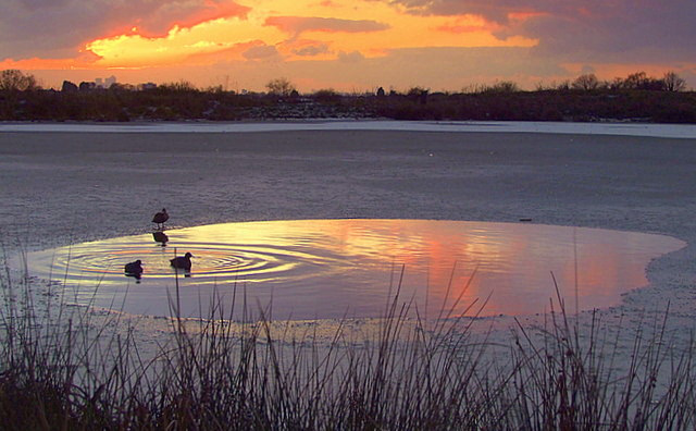
Bedfords Park is public open space of 215 acres or approximately 87½ hectares near Havering-atte-Bower in the London Borough of Havering in England. It is one of three large parklands around Havering-atte-Bower; the others are Havering Country Park and Pyrgo Park. Bedfords Park is a Site of Metropolitan Importance for Nature Conservation and a local nature reserve. It was awarded a Green Flag Award in 2007 which was maintained at least until 2013. The site is managed by Havering Council and the visitor centre is managed by the Essex Wildlife Trust.
- Category
- Photo Spots
- Location
- London, United Kingdom
- Coordinates
- 51.60860, 0.19200
- How to get there
- Google MapsApple MapsOpenStreetMap
- Wikidata
- Q4879230
What is Bedfords Park?
Bedfords Park is a Photo Spots place on VeroMaps. Other places close by: Pyrgo Park, Hornchurch Cutting, Eastbrook, Kelvedon Hatch Secret Nuclear Bunker.
Where is Bedfords Park?
Bedfords Park is in London, United Kingdom. Coordinates: 51.60860, 0.19200.
How do I get to Bedfords Park?
Bedfords Park is at London, United Kingdom (51.60860, 0.19200). Enter these coordinates in Google Maps, Apple Maps or OpenStreetMap for walking, cycling or driving directions.