Photo corners
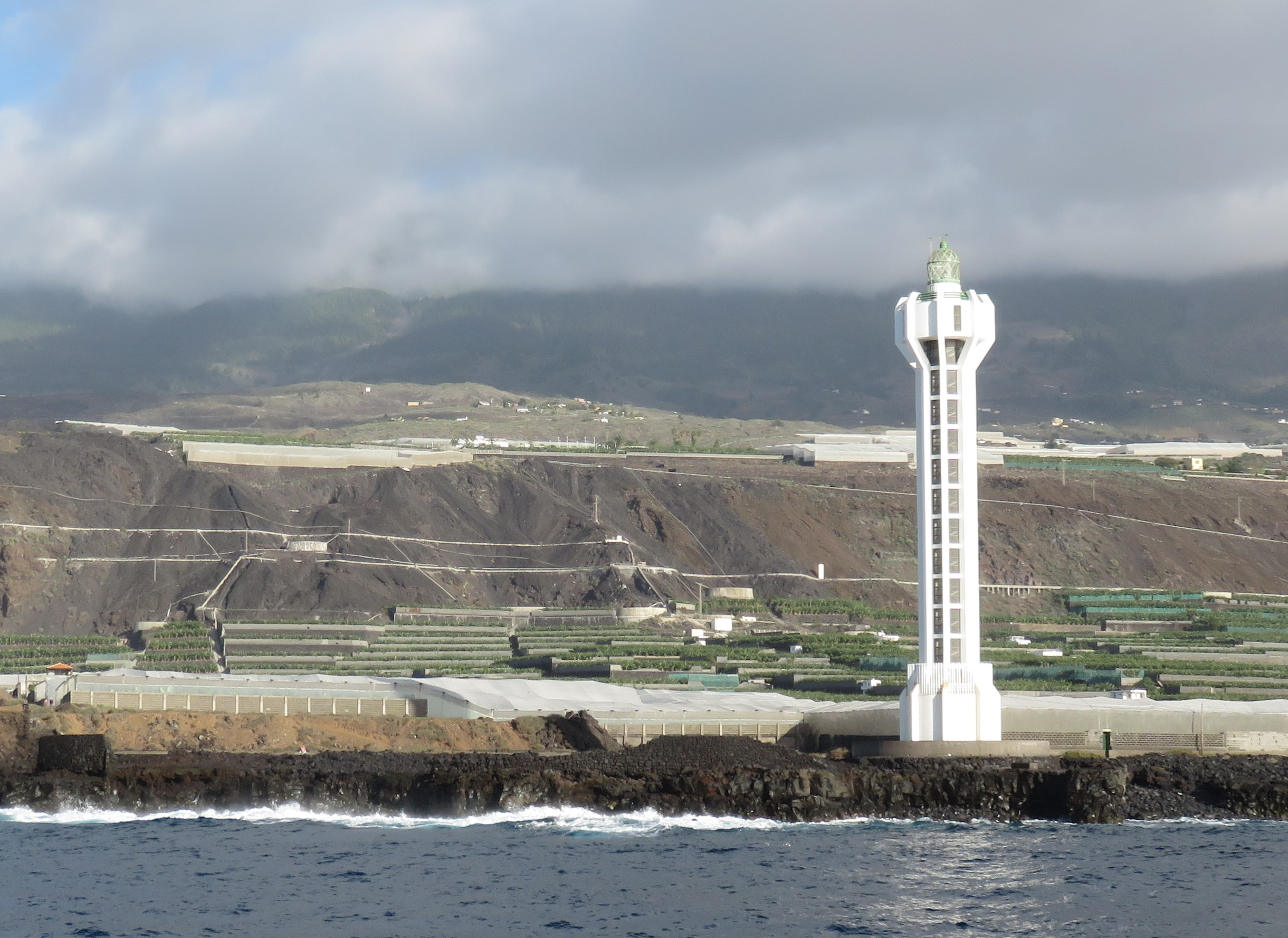
Punta Lava Lighthouse
Tazacorte, Spain
Punta Lava Lighthouse (Spanish: Faro de Punta Lava) is an active 20th century Spanish lighthouse on the Canary island of La Palma. It is located in the municipality of Tazacorte, near the village of La Bombilla on the western side of the island. The larger settlement of Puerto Naos lies 2 kilometres to the south-west. It is one of four main lighthouses on La Palma, each one marking a different cardinal point of the island. The modern lighthouses of Punta Lava and Arenas Blancas are located on the western and eastern sides of the island. The older lighthouses at Punta Cumplida and Fuencaliente are situated at the northern and southern points respectively.
- Category
- Photo Spots
- Location
- Tazacorte, Spain
- Coordinates
- 28.59667, -17.92568
- How to get there
- Google MapsApple MapsOpenStreetMap
- Wikidata
- Q18746975
What is Punta Lava Lighthouse?
Punta Lava Lighthouse is a Photo Spots place on VeroMaps. Other places close by: Ermita de Nuestra Señora de Bonanza, Virgen del Pino, Arenas Blancas Lighthouse, Cueva Bonita.
Where is Punta Lava Lighthouse?
Punta Lava Lighthouse is in Tazacorte, Spain. Coordinates: 28.59667, -17.92568.
How do I get to Punta Lava Lighthouse?
Punta Lava Lighthouse is at Tazacorte, Spain (28.59667, -17.92568). Enter these coordinates in Google Maps, Apple Maps or OpenStreetMap for walking, cycling or driving directions.