Photo corners
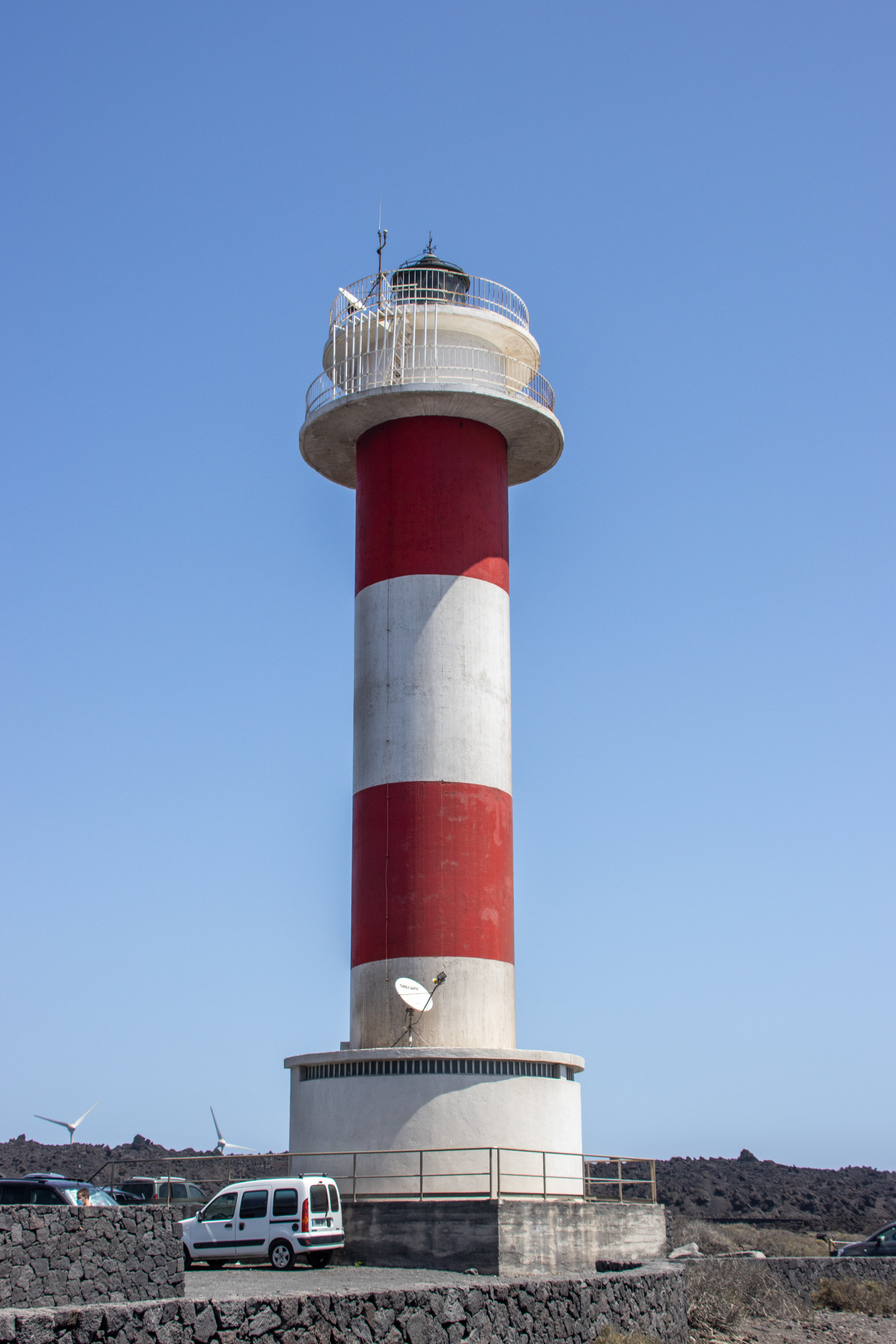
Fuencaliente Lighthouse
Fuencaliente de la Palma, Spain
The Fuencaliente Lighthouse is an active lighthouse at the southern end of the island of La Palma in the Canary Islands. The original lighthouse was built in 1903 and while it still exists it was replaced by the current lighthouse in 1985. It is one of a number of lighthouses in the Canary Islands.
- Category
- Photo Spots
- Location
- Fuencaliente de la Palma, Spain
- Coordinates
- 28.45530, -17.84310
- How to get there
- Google MapsApple MapsOpenStreetMap
- Wikidata
- Q5404378
What is Fuencaliente Lighthouse?
Fuencaliente Lighthouse is a Photo Spots place on VeroMaps. Other places close by: Arenas Blancas Lighthouse, Punta Lava Lighthouse, Ermita de Nuestra Señora de Bonanza, Virgen del Pino.
Where is Fuencaliente Lighthouse?
Fuencaliente Lighthouse is in Fuencaliente de la Palma, Spain. Coordinates: 28.45530, -17.84310.
How do I get to Fuencaliente Lighthouse?
Fuencaliente Lighthouse is at Fuencaliente de la Palma, Spain (28.45530, -17.84310). Enter these coordinates in Google Maps, Apple Maps or OpenStreetMap for walking, cycling or driving directions.