Photo corners
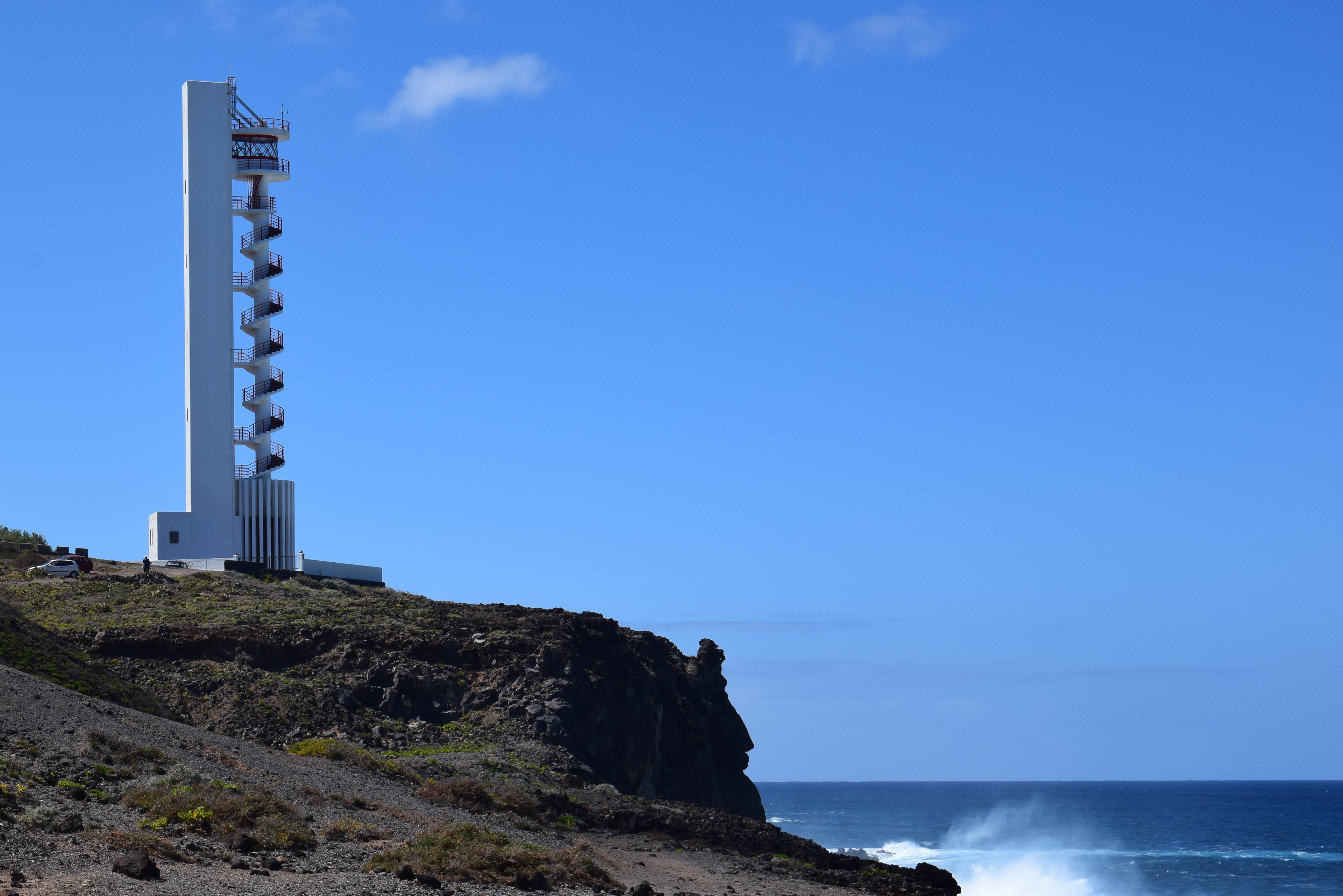
Buenavista Lighthouse
Tanque, Spain
The Buenavista Lighthouse (Spanish: Faro de Buenavista), also known as the Punta de Buenavista lighthouse, is an active lighthouse in the municipality of Buenavista del Norte on the northern coast of Tenerife in the Canary Islands. This modern lighthouse, which has been described as being shaped like a corkscrew, is situated on a headland midway between the settlements of Buenavista del Norte and Los Silos. It is one of the seven main lighthouses which mark the coastline of Tenerife, and lies between two other lighthouses; Punta de Teno to the southwest, and Puerto de la Cruz to the northeast.
- Category
- Photo Spots
- Location
- Tanque, Spain
- Coordinates
- 28.39108, -16.83650
- How to get there
- Google MapsApple MapsOpenStreetMap
- Wikidata
- Q23823864
What is Buenavista Lighthouse?
Buenavista Lighthouse is a Photo Spots place on VeroMaps. Other places close by: Castillo de San Miguel, Punta de Teno Lighthouse, Drago de Icod de los Vinos, Cave of the Guanches.
Where is Buenavista Lighthouse?
Buenavista Lighthouse is in Tanque, Spain. Coordinates: 28.39108, -16.83650.
How do I get to Buenavista Lighthouse?
Buenavista Lighthouse is at Tanque, Spain (28.39108, -16.83650). Enter these coordinates in Google Maps, Apple Maps or OpenStreetMap for walking, cycling or driving directions.