Photo corners
Prestegårdsskogen Nature Reserve
Steigen Municipality, Norway
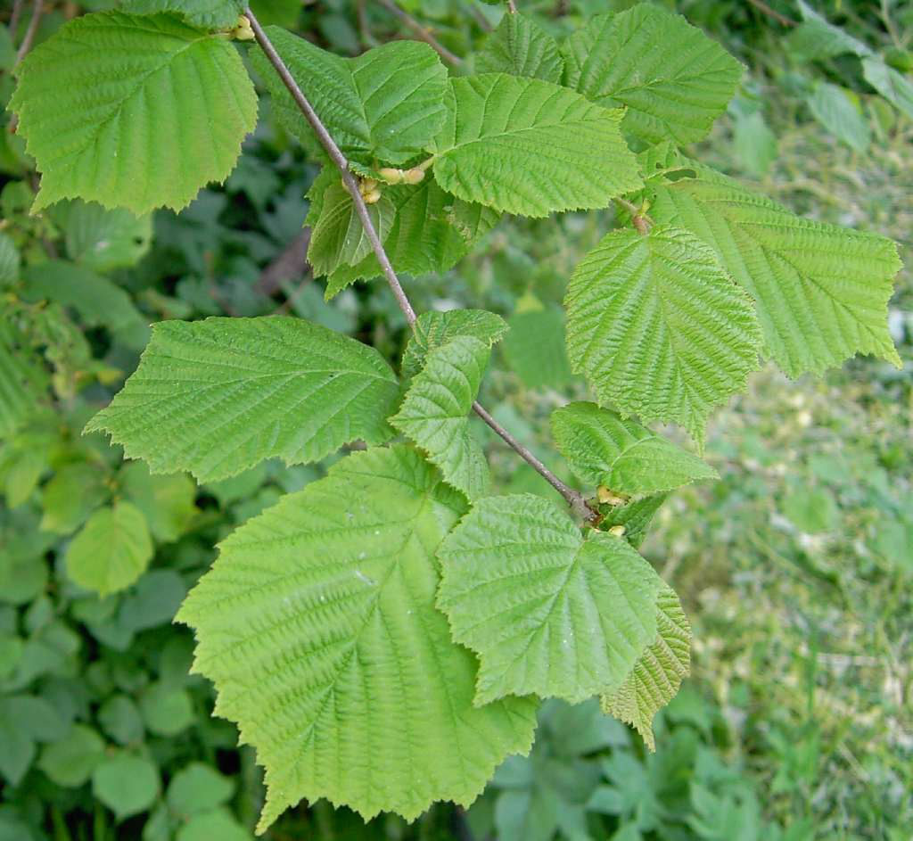
Prestegårdsskogen Nature Reserve (Norwegian: Prestegårdsskogen naturreservat) is a nature reserve on the southern side of the island of Engeløya in Steigen Municipality in Nordland county, Norway. It is a heavily hazel-forested area; other than a few far smaller exceptions, it is the northernmost known hazel forest.
- Category
- Photo Spots
- Location
- Steigen Municipality, Norway
- Coordinates
- 67.92800, 15.06200
- How to get there
- Google MapsApple MapsOpenStreetMap
- Wikidata
- Q6517162
What is Prestegårdsskogen Nature Reserve?
Prestegårdsskogen Nature Reserve is a Photo Spots place on VeroMaps. Other places close by: Skrova Lighthouse, Måløy–Skarholmen Lighthouse, Moholmen Lighthouse, Sjunkhatten National Park.
Where is Prestegårdsskogen Nature Reserve?
Prestegårdsskogen Nature Reserve is in Steigen Municipality, Norway. Coordinates: 67.92800, 15.06200.
How do I get to Prestegårdsskogen Nature Reserve?
Prestegårdsskogen Nature Reserve is at Steigen Municipality, Norway (67.92800, 15.06200). Enter these coordinates in Google Maps, Apple Maps or OpenStreetMap for walking, cycling or driving directions.