Photo corners
Glåpen Lighthouse
Reine, Norway
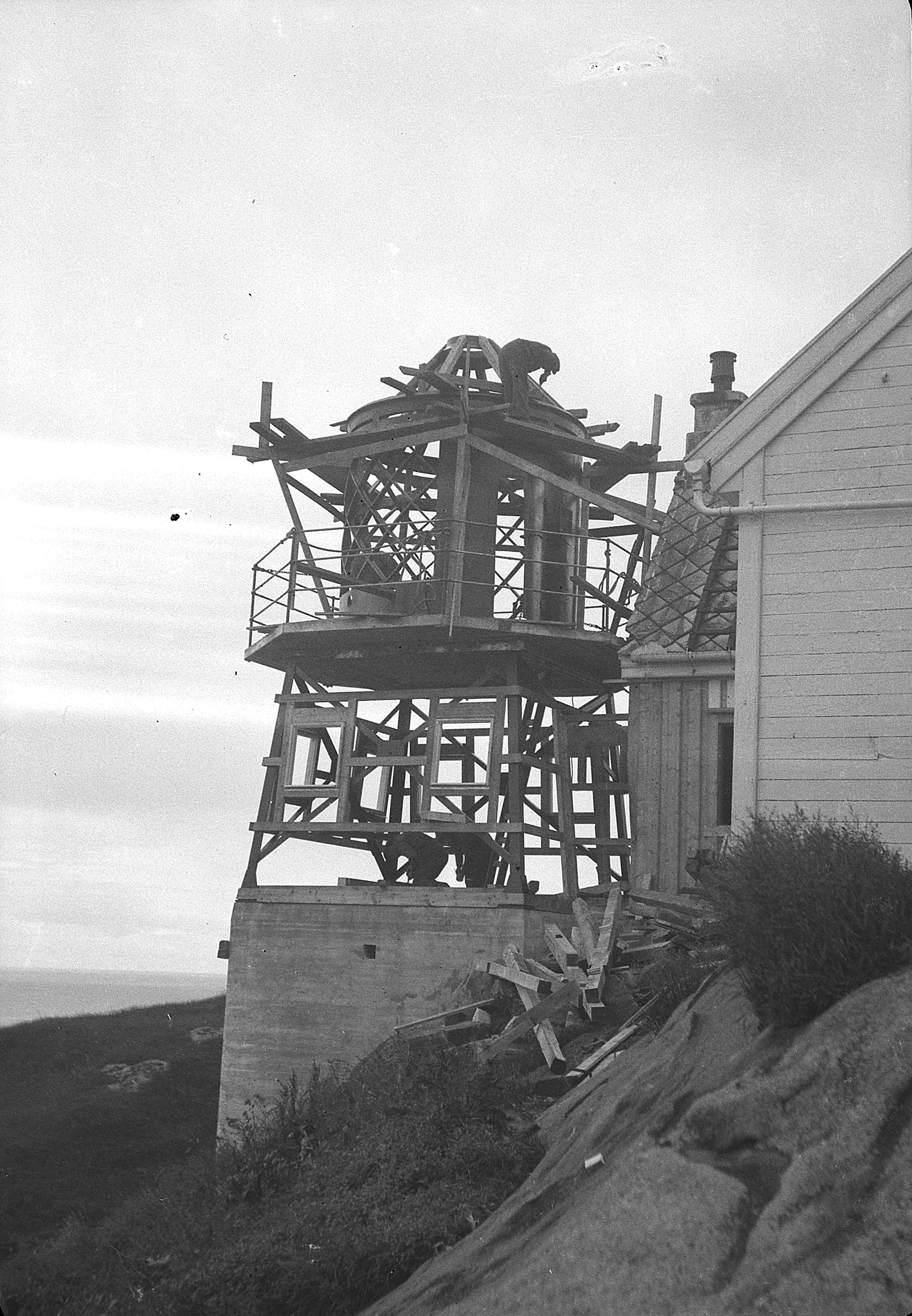
Glåpen Lighthouse (Norwegian: Glåpen fyr) is a coastal lighthouse in Moskenes Municipality in Nordland county, Norway. The lighthouse sits on the southeastern shore of the island of Moskenesøya, just south of the village of Sørvågen on the northern coast of the Vestfjorden.
- Category
- Photo Spots
- Location
- Reine, Norway
- Coordinates
- 67.88722, 13.03611
- How to get there
- Google MapsApple MapsOpenStreetMap
- Wikidata
- Q5573674
What is Glåpen Lighthouse?
Glåpen Lighthouse is a Photo Spots place on VeroMaps. Other places close by: Lofotodden National Park, Værøy Lighthouse, Måløy–Skarholmen Lighthouse, Moholmen Lighthouse.
Where is Glåpen Lighthouse?
Glåpen Lighthouse is in Reine, Norway. Coordinates: 67.88722, 13.03611.
How do I get to Glåpen Lighthouse?
Glåpen Lighthouse is at Reine, Norway (67.88722, 13.03611). Enter these coordinates in Google Maps, Apple Maps or OpenStreetMap for walking, cycling or driving directions.