Photo corners
Lofotodden National Park
Moskenes, Norway
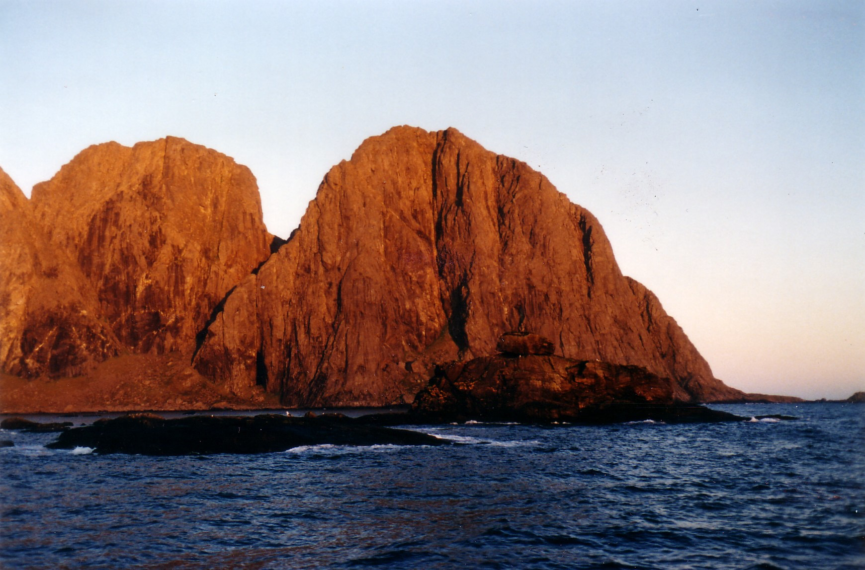
Lofotodden National Park (Norwegian: Lofotodden nasjonalpark) is a national park located in Moskenes Municipality and Flakstad Municipality in Nordland county, Norway. It is located not far from the Arctic Circle on the island of Moskenesøya in the Lofoten archipelago. Lofotodden National Park was established on 22 June 2018. The national park covers an area of 99 square kilometres (38 sq mi), of which approximately 13 square kilometres (5.0 sq mi) is sea area. It was officially opened by Climate and Environment Minister Ola Elvestuen on 9 June 2019.
- Category
- Photo Spots
- Location
- Moskenes, Norway
- Coordinates
- 68.01697, 13.02313
- How to get there
- Google MapsApple MapsOpenStreetMap
- Wikidata
- Q56980144
What is Lofotodden National Park?
Lofotodden National Park is a Photo Spots place on VeroMaps. Other places close by: Glåpen Lighthouse, Værøy Lighthouse, Moholmen Lighthouse, Måløy–Skarholmen Lighthouse.
Where is Lofotodden National Park?
Lofotodden National Park is in Moskenes, Norway. Coordinates: 68.01697, 13.02313.
How do I get to Lofotodden National Park?
Lofotodden National Park is at Moskenes, Norway (68.01697, 13.02313). Enter these coordinates in Google Maps, Apple Maps or OpenStreetMap for walking, cycling or driving directions.