Photo corners
Pieljekaise National Park
Arjeplog Municipality, Sweden
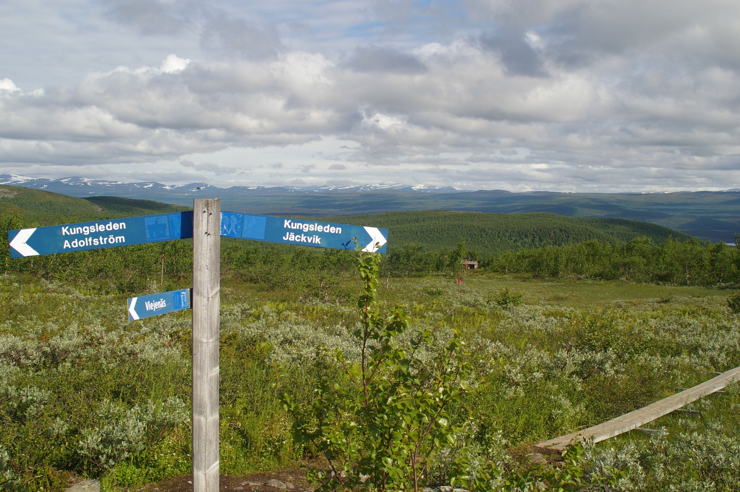
Pieljekaise is a Swedish national park. It lies about 10 km (6. 2 mi) south of Jäkkvik in Arjeplog Municipality, Lappland. The park covers an area of 153. 4 km2 (59. 2 sq mi). It consists largely of birch woods.
- Category
- Photo Spots
- Location
- Arjeplog Municipality, Sweden
- Coordinates
- 66.35430, 16.76826
- How to get there
- Google MapsApple MapsOpenStreetMap
- Wikidata
- Q666044
What is Pieljekaise National Park?
Pieljekaise National Park is a Photo Spots place on VeroMaps. Other places close by: Tjeggelvas, Galtispuoda, Junkerdal National Park, Nalovardo.
Where is Pieljekaise National Park?
Pieljekaise National Park is in Arjeplog Municipality, Sweden. Coordinates: 66.35430, 16.76826.
How do I get to Pieljekaise National Park?
Pieljekaise National Park is at Arjeplog Municipality, Sweden (66.35430, 16.76826). Enter these coordinates in Google Maps, Apple Maps or OpenStreetMap for walking, cycling or driving directions.