Urbex & Abandoned
Jakobsbakken
Fauske Municipality, Norway
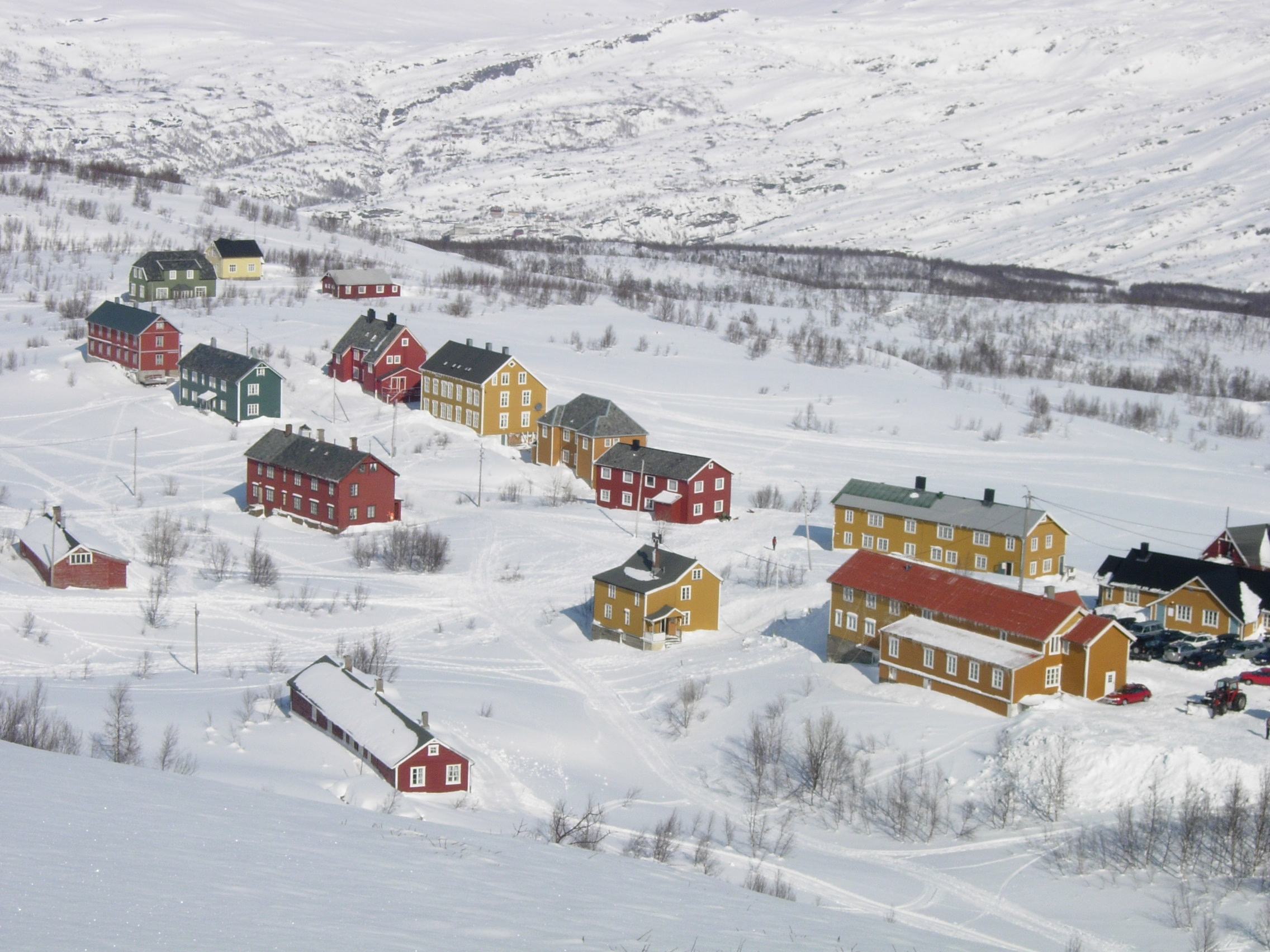
Jakobsbakken (locally known as Bakken) is a small clustered village area in Fauske Municipality in Nordland county, Norway. The village no longer has any permanent residents, but it historically was a mining village. The village is situated south of Lake Langvatnet, about 8 kilometres (5.0 mi) south of the village of Sulitjelma, just above the tree line at an elevation of 600 meters (2,000 ft).
- Category
- Urbex & Abandoned
- Location
- Fauske Municipality, Norway
- Coordinates
- 67.09520, 16.00590
- How to get there
- Google MapsApple MapsOpenStreetMap
- Wikidata
- Q11977919
What is Jakobsbakken?
Jakobsbakken is a Urbex & Abandoned place on VeroMaps. Other places close by: Junkerdal National Park, Rago National Park, Padjelanta National Park, Sjunkhatten National Park.
Where is Jakobsbakken?
Jakobsbakken is in Fauske Municipality, Norway. Coordinates: 67.09520, 16.00590.
How do I get to Jakobsbakken?
Jakobsbakken is at Fauske Municipality, Norway (67.09520, 16.00590). Enter these coordinates in Google Maps, Apple Maps or OpenStreetMap for walking, cycling or driving directions.