Photo corners
Láhko National Park
Meløy, Norway
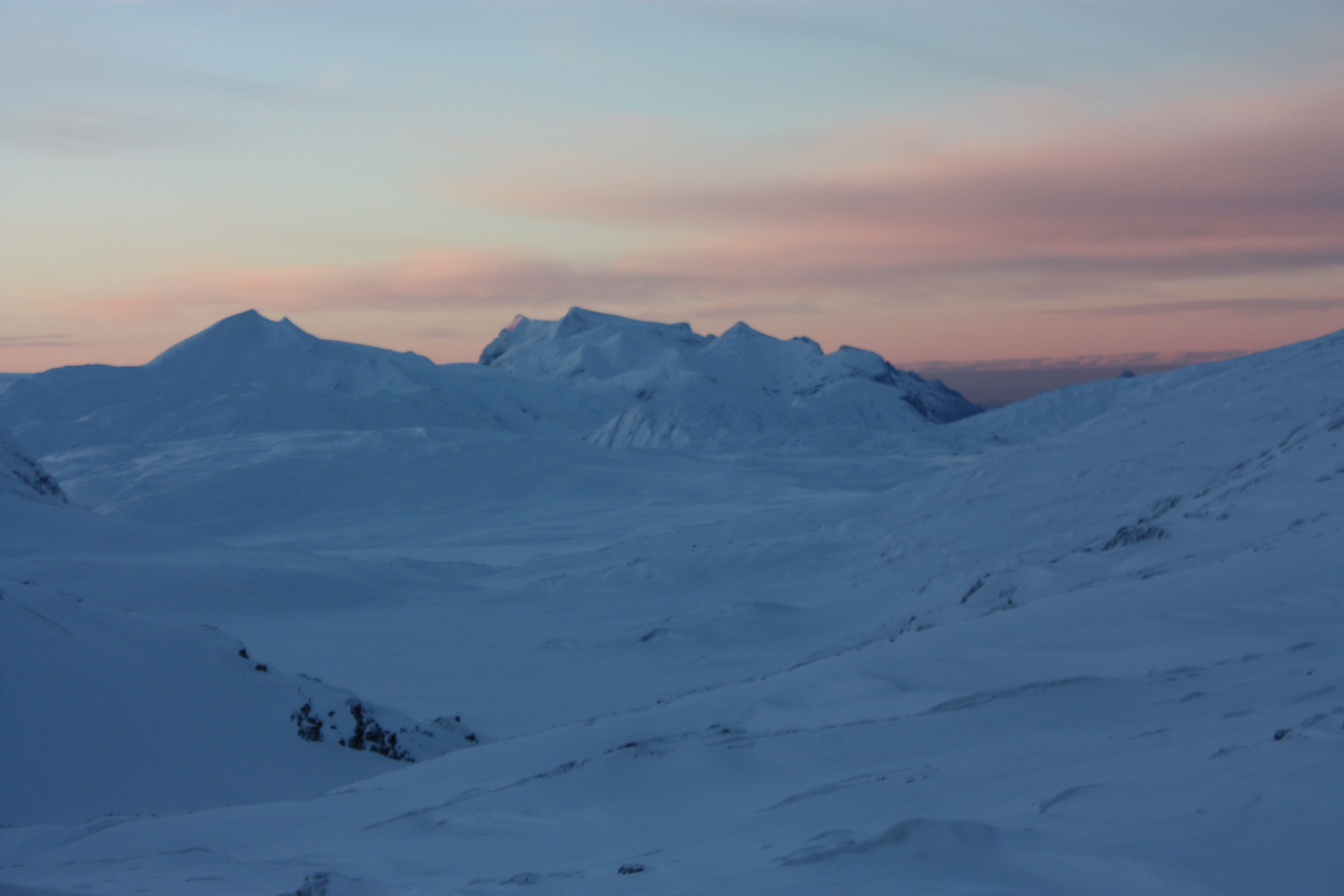
Láhko National Park (Norwegian: Láhko nasjonalpark) is a national park in Nordland county, Norway. It is located within Gildeskål Municipality, Meløy Municipality, and Beiarn Municipality The park contains unique geological features, including Norway's largest area of karst and caves. Rare plants and charales are also found inside the park. The park was established in December 2012 and covers an area of 188 km2 (73 sq mi).
- Category
- Photo Spots
- Location
- Meløy, Norway
- Coordinates
- 66.84167, 14.23333
- How to get there
- Google MapsApple MapsOpenStreetMap
- Wikidata
- Q1790855
What is Láhko National Park?
Láhko National Park is a Photo Spots place on VeroMaps. Other places close by: Saltfjellet–Svartisen National Park, Nyholmen Lighthouse, Kalsholmen Lighthouse, Tennholmen Lighthouse.
Where is Láhko National Park?
Láhko National Park is in Meløy, Norway. Coordinates: 66.84167, 14.23333.
How do I get to Láhko National Park?
Láhko National Park is at Meløy, Norway (66.84167, 14.23333). Enter these coordinates in Google Maps, Apple Maps or OpenStreetMap for walking, cycling or driving directions.