Urbex & Abandoned
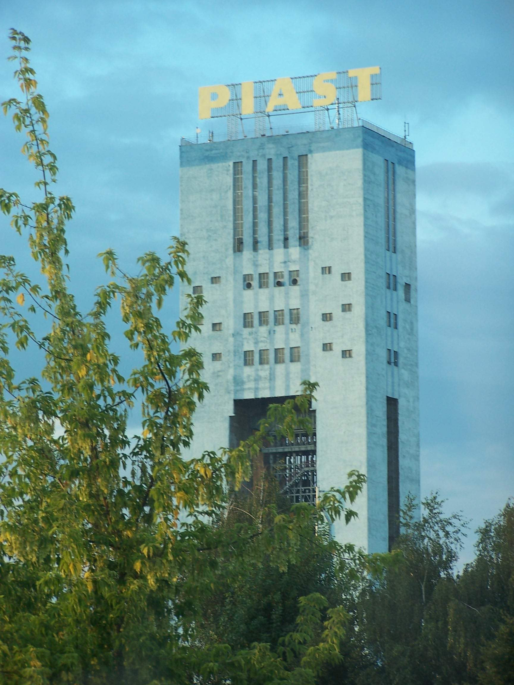
Piast Coal Mine
Bieruń, Poland
The Piast coal mine is a large mine in the south of Poland in Bieruń, Silesian Voivodeship, 310 km south-west of the capital, Warsaw. Piast represents one of the largest coal reserve in Poland having estimated reserves of 150 million tonnes of coal. The annual coal production is around 5 million tonnes.
- Category
- Urbex & Abandoned
- Location
- Bieruń, Poland
- Coordinates
- 50.08380, 19.16420
- How to get there
- Google MapsApple MapsOpenStreetMap
- Wikidata
- Q7190349
What is Piast Coal Mine?
Piast Coal Mine is a Urbex & Abandoned place on VeroMaps. Other places close by: Ziemowit Coal Mine, Oświęcim Castle, Zamek w Bobrku, Janina Coal Mine.
Where is Piast Coal Mine?
Piast Coal Mine is in Bieruń, Poland. Coordinates: 50.08380, 19.16420.
How do I get to Piast Coal Mine?
Piast Coal Mine is at Bieruń, Poland (50.08380, 19.16420). Enter these coordinates in Google Maps, Apple Maps or OpenStreetMap for walking, cycling or driving directions.