Urbex & Abandoned
Staszic Coal Mine
Katowice, Poland
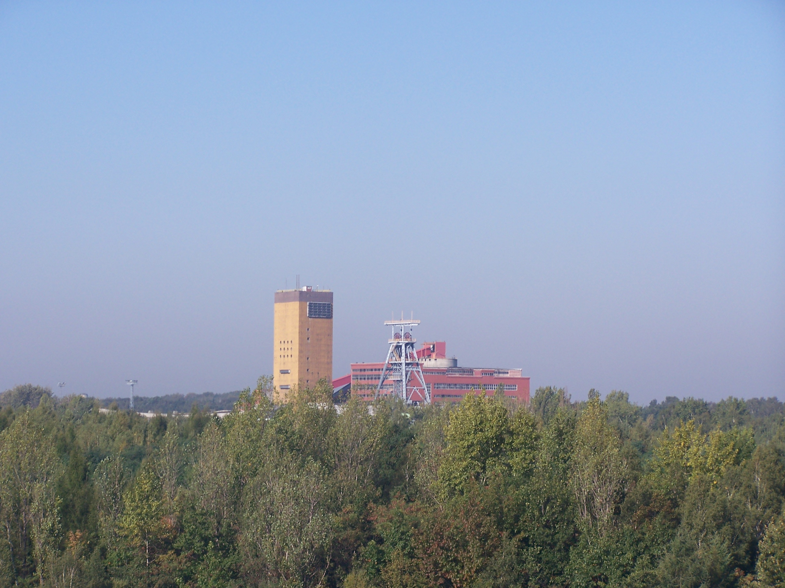
The Staszic coal mine is a large mine in the south of Poland in Katowice, Silesian Voivodeship, 260 km south-west of the capital, Warsaw. Staszic represents one of the largest coal reserve in Poland having estimated reserves of 343.8 million tonnes of coal. The annual coal production is around 5.7 million tonnes.
- Category
- Urbex & Abandoned
- Location
- Katowice, Poland
- Coordinates
- 50.22480, 19.04420
- How to get there
- Google MapsApple MapsOpenStreetMap
- Wikidata
- Q7602957
What is Staszic Coal Mine?
Staszic Coal Mine is a Urbex & Abandoned place on VeroMaps. Other places close by: Staszic-Wujek Coal Mine, Water tower in Giszowiec, Wieczorek Coal Mine, Jordana 18.
Where is Staszic Coal Mine?
Staszic Coal Mine is in Katowice, Poland. Coordinates: 50.22480, 19.04420.
How do I get to Staszic Coal Mine?
Staszic Coal Mine is at Katowice, Poland (50.22480, 19.04420). Enter these coordinates in Google Maps, Apple Maps or OpenStreetMap for walking, cycling or driving directions.