Urbex & Abandoned
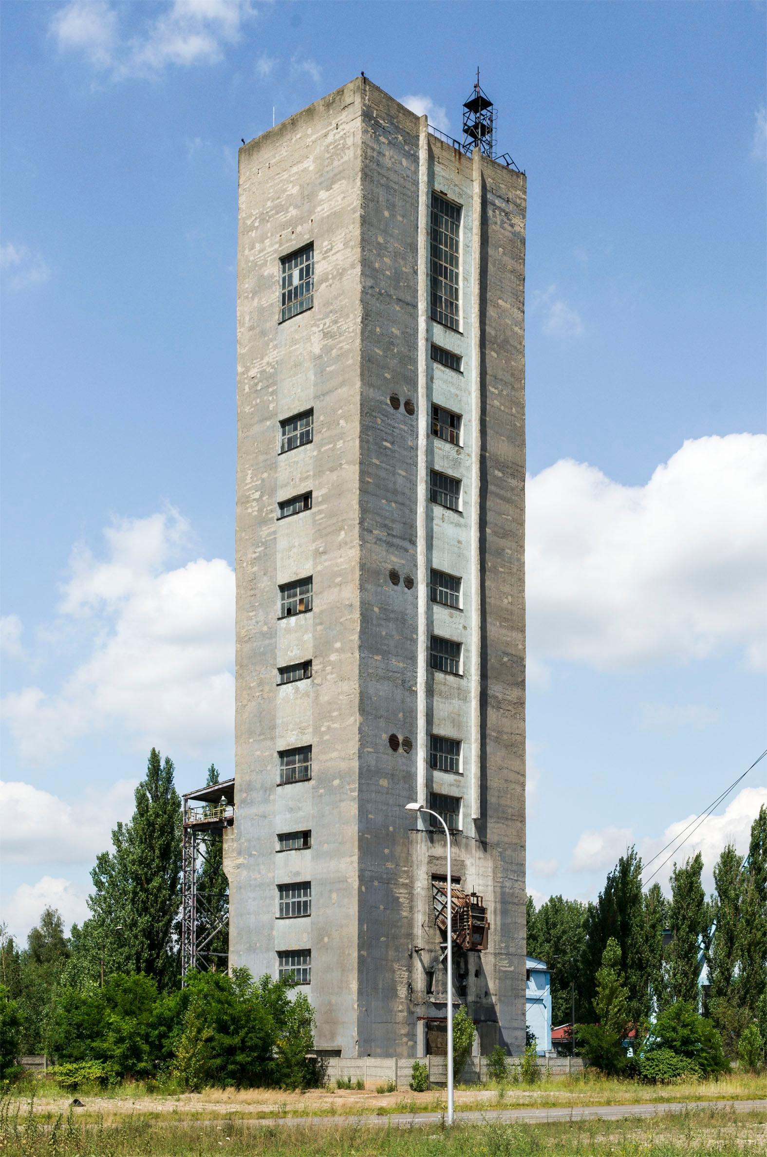
Jan Kanty coal mine
Jaworzno, Poland
Das Bergwerk Jan Kanty (polnisch Kopalnia Węgla Kamiennego Jan Kanty) ist ein stillgelegtes Steinkohlenbergwerk in der polnischen Stadt Jaworzno.
- Category
- Urbex & Abandoned
- Location
- Jaworzno, Poland
- Coordinates
- 50.22060, 19.24720
- How to get there
- Google MapsApple MapsOpenStreetMap
- Wikidata
- Q11743371
What is Jan Kanty coal mine?
Jan Kanty coal mine is a Urbex & Abandoned place on VeroMaps. Other places close by: Sobieski Coal Mine, Kopalnia Węgla Kamiennego Niwka-Modrzejów, Coal Mine Porąbka-Klimontów, Kazimierz-Juliusz hard coal mine.
Where is Jan Kanty coal mine?
Jan Kanty coal mine is in Jaworzno, Poland. Coordinates: 50.22060, 19.24720.
How do I get to Jan Kanty coal mine?
Jan Kanty coal mine is at Jaworzno, Poland (50.22060, 19.24720). Enter these coordinates in Google Maps, Apple Maps or OpenStreetMap for walking, cycling or driving directions.