Photo corners
Dingle Marshes
Suffolk, United Kingdom
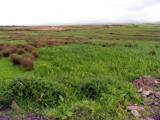
Dingle Marshes is a 93-hectare (230-acre) wildlife reserve on the North Sea coast of the English county of Suffolk. The reserve is located between Dunwich and Walberswick, approximately 4 miles (6. 4 km) south-west of Southwold.
- Category
- Photo Spots
- Location
- Suffolk, United Kingdom
- Coordinates
- 52.28540, 1.62929
- How to get there
- Google MapsApple MapsOpenStreetMap
- Wikidata
- Q5278219
What is Dingle Marshes?
Dingle Marshes is a Photo Spots place on VeroMaps. Other places close by: Dunwich Forest, White Hart Inn, Southwold lighthouse, Reydon Wood.
Where is Dingle Marshes?
Dingle Marshes is in Suffolk, United Kingdom. Coordinates: 52.28540, 1.62929.
How do I get to Dingle Marshes?
Dingle Marshes is at Suffolk, United Kingdom (52.28540, 1.62929). Enter these coordinates in Google Maps, Apple Maps or OpenStreetMap for walking, cycling or driving directions.