Photo corners
Hazlewood Marshes
United Kingdom
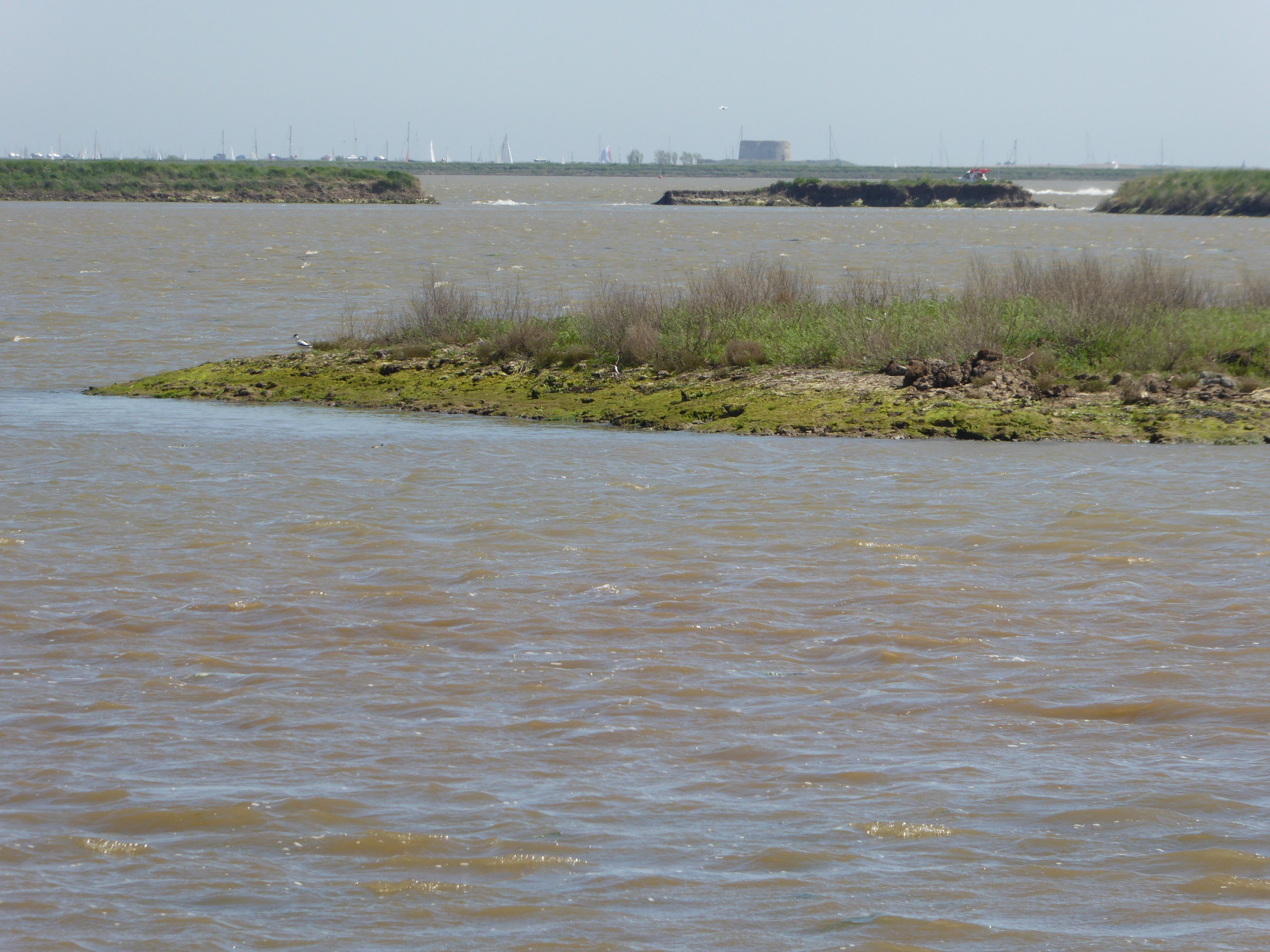
Hazlewood Marshes is a 64 hectare nature reserve west of Aldeburgh in Suffolk. It is managed by the Suffolk Wildlife Trust. It is in the Alde-Ore Estuary biological Site of Special Scientific Interest. This was formerly a fresh water lagoon and marshes, but on 5 December 2013 a tidal surge broke through the sea wall and flooded the site with sea water. Whole communities of plants and invertebrates disappeared, and the site is converting to salt marsh, with birds including black-tailed godwits, dunlins, redshanks, lapwings and avocets. There is access from the Sailors' Path between Aldeburgh and Snape.
- Category
- Photo Spots
- Location
- United Kingdom
- Coordinates
- 52.16500, 1.56500
- How to get there
- Google MapsApple MapsOpenStreetMap
- Wikidata
- Q5688343
What is Hazlewood Marshes?
Hazlewood Marshes is a Photo Spots place on VeroMaps. Other places close by: The Parrot And Punchbowl Public House, House in the Clouds, Snape Marshes, Captain's Wood.
Where is Hazlewood Marshes?
Hazlewood Marshes is in United Kingdom. Coordinates: 52.16500, 1.56500.
How do I get to Hazlewood Marshes?
Hazlewood Marshes is at United Kingdom (52.16500, 1.56500). Enter these coordinates in Google Maps, Apple Maps or OpenStreetMap for walking, cycling or driving directions.