Urbex & Abandoned
Mount Caburn
Glynde, United Kingdom
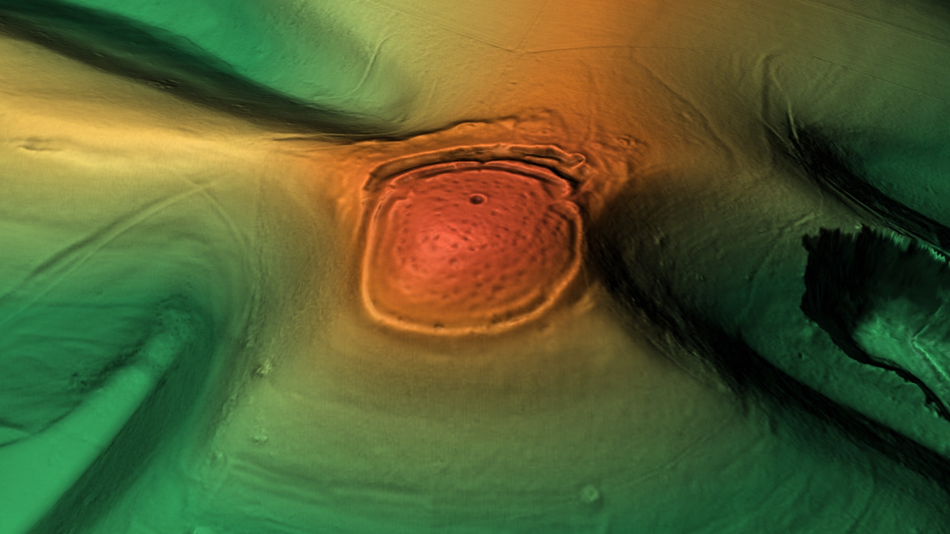
Mount Caburn is a 150-metre (492 ft) prominent landmark in East Sussex, England, about one mile (1.6 km) east of Lewes overlooking the village of Glynde. It is the highest part of an outlier of the South Downs, separated from the main range by Glynde Reach, a tributary of the River Ouse.
- Category
- Urbex & Abandoned
- Location
- Glynde, United Kingdom
- Coordinates
- 50.86180, 0.05100
- How to get there
- Google MapsApple MapsOpenStreetMap
- Wikidata
- Q12062109
What is Mount Caburn?
Mount Caburn is a Urbex & Abandoned place on VeroMaps. Other places close by: Glynde Place, Southerham Grey Pit, Glyndebourne, Lewes Priory.
Where is Mount Caburn?
Mount Caburn is in Glynde, United Kingdom. Coordinates: 50.86180, 0.05100.
How do I get to Mount Caburn?
Mount Caburn is at Glynde, United Kingdom (50.86180, 0.05100). Enter these coordinates in Google Maps, Apple Maps or OpenStreetMap for walking, cycling or driving directions.