Forgotten History
Lewes Castle
Lewes, United Kingdom
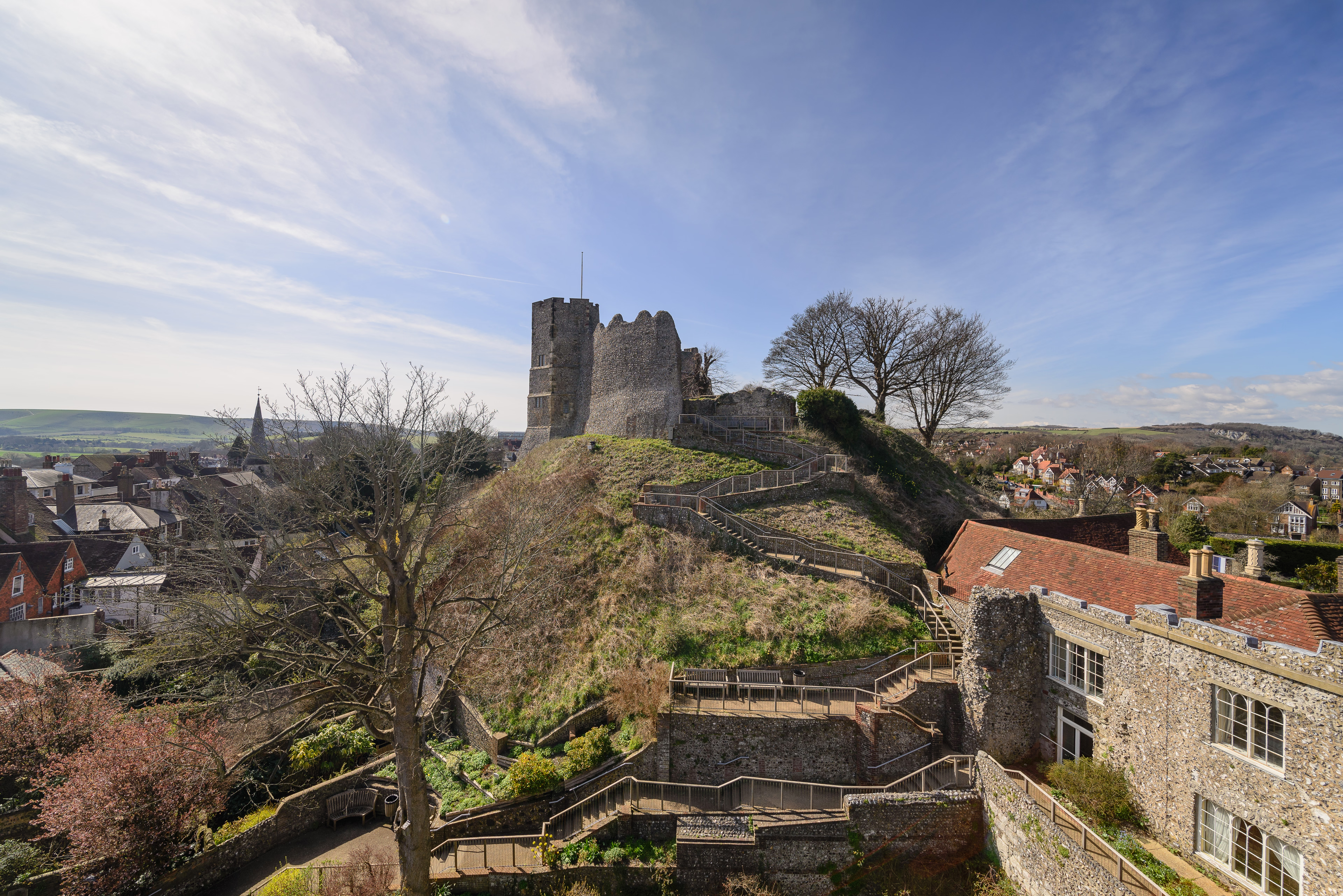
Lewes Castle is a medieval castle in the town of Lewes in East Sussex, England. Originally called Bray Castle, it occupies a commanding position guarding the gap in the South Downs cut by the River Ouse and occupied by the towns of Lewes and Cliffe. It stands on a man-made mount just to the north of the high street in Lewes, and is constructed from local limestone and flint blocks.
- Category
- Forgotten History
- Location
- Lewes, United Kingdom
- Coordinates
- 50.87280, 0.00725
- How to get there
- Google MapsApple MapsOpenStreetMap
- Wikidata
- Q386703
What is Lewes Castle?
Lewes Castle is a Forgotten History place on VeroMaps. Other places close by: Lewes Priory, Southerham Grey Pit, Mount Caburn, Glyndebourne.
Where is Lewes Castle?
Lewes Castle is in Lewes, United Kingdom. Coordinates: 50.87280, 0.00725.
How do I get to Lewes Castle?
Lewes Castle is at Lewes, United Kingdom (50.87280, 0.00725). Enter these coordinates in Google Maps, Apple Maps or OpenStreetMap for walking, cycling or driving directions.