Photo corners
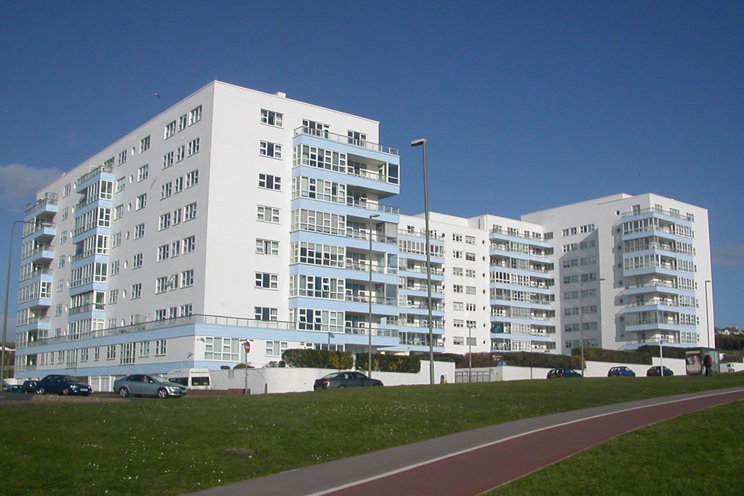
Marine Gate
Brighton and Hove, United Kingdom
Marine Gate is a large block of over 50's flats built in 1939 to the design of architects Wimperis, Simpson and Guthrie. It stands to the East of the English seaside resort of Brighton bordering Whitehawk and Roedean, and is situated in the Rottingdean Coastal ward overlooking Brighton Marina and Black Rock. Originally built with 105 flats, a restaurant and offices, internal reconfiguration has increased the number of flats to 132. The International/Modern-style building is situated in a clifftop position at the eastern border of Brighton. Its proximity next to a derelict gasworks continually blocked for redevelopment by residents of Marine Gate. Proximity to the gas works resulted in Marine Gate being damaged by bombs several times during World War II, to the extent that it was Brighton's most indirectly bombed building. The block is situated on an approach to Brighton Kemptown from the east. Its form, with Modernist features has invoked strong opinions among architectural critics. Described variously as "interesting", "elegant" and "comparing favourably with Embassy Court" (a building of the same era further west), a 2002 critique by Anthony Seldon placed it among "the city's worst ten buildings".
- Category
- Photo Spots
- Location
- Brighton and Hove, United Kingdom
- Coordinates
- 50.81530, -0.10370
- How to get there
- Google MapsApple MapsOpenStreetMap
- Wikidata
- Q15128895
What is Marine Gate?
Marine Gate is a Photo Spots place on VeroMaps. Other places close by: Marlborough Pub and Theatre, BrewDog, Royal Pavilion, Woodingdean Water Well.
Where is Marine Gate?
Marine Gate is in Brighton and Hove, United Kingdom. Coordinates: 50.81530, -0.10370.
How do I get to Marine Gate?
Marine Gate is at Brighton and Hove, United Kingdom (50.81530, -0.10370). Enter these coordinates in Google Maps, Apple Maps or OpenStreetMap for walking, cycling or driving directions.