Forgotten History
Montfichet's Tower
London, United Kingdom
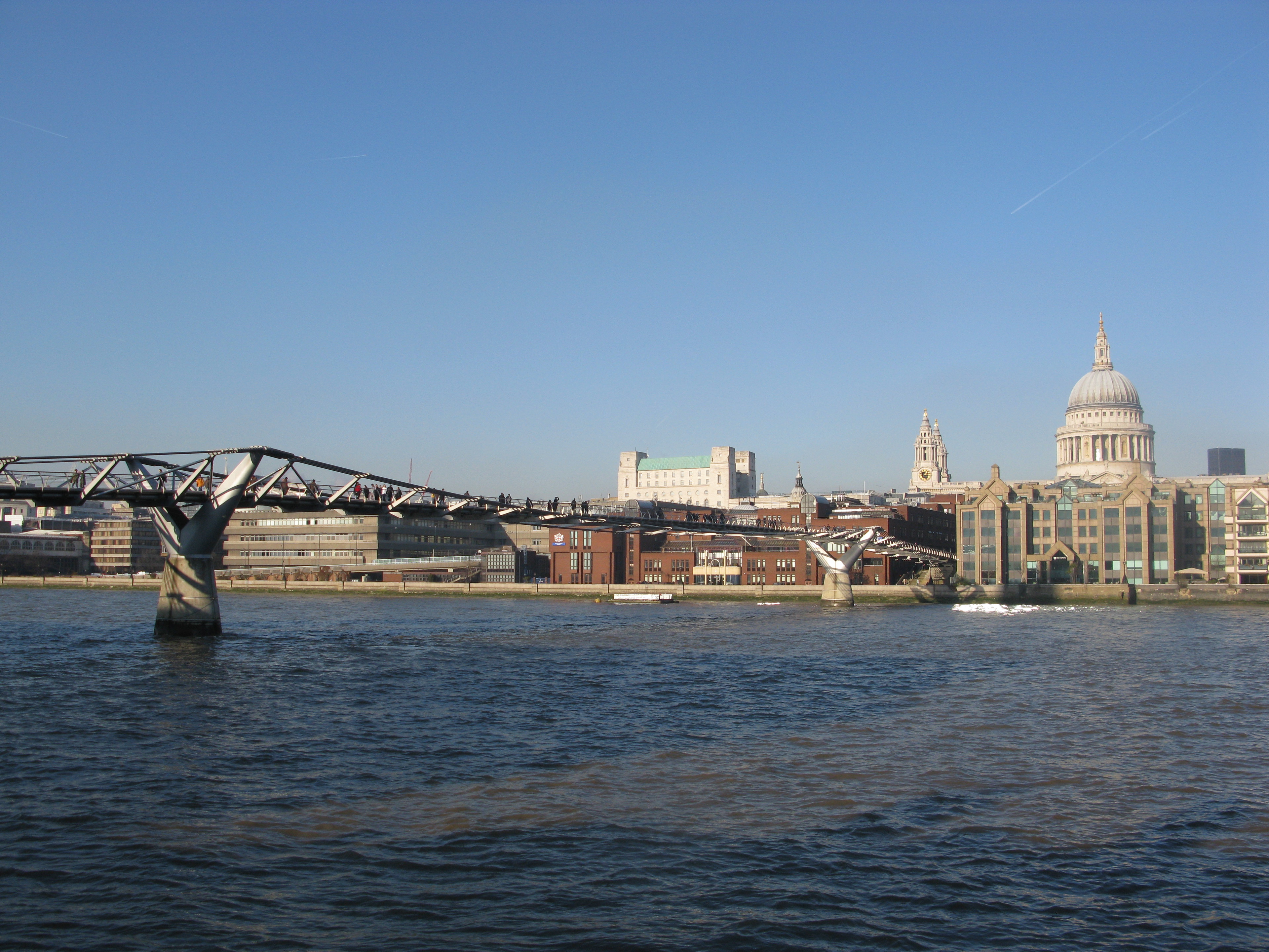
Montfichet's Tower (also known as Montfichet's Castle and/or spelt Mountfitchet's or Mountfiquit's) was a Norman fortress on Ludgate Hill in London, between where St Paul's Cathedral and City Thameslink railway station now stand. First documented in the 1130s, it was probably built in the late 11th century. The defences were strengthened during the revolt of 1173–1174 against Henry II. It was demolished in 1213 by King John and the site sold in 1275 to build the great Dominican priory of Blackfriars. Archaeological excavations in 1986–90 uncovered waste pits and the remains of ditches between Carter Lane and Ludgate Hill.
- Category
- Forgotten History
- Location
- London, United Kingdom
- Coordinates
- 51.51360, -0.10139
- How to get there
- Google MapsApple MapsOpenStreetMap
- Wikidata
- Q1470540
What is Montfichet's Tower?
Montfichet's Tower is a Forgotten History place on VeroMaps. Other places close by: The Cockpit, Statue of Queen Anne, Oxford Arms, Belle Sauvage (inn).
Where is Montfichet's Tower?
Montfichet's Tower is in London, United Kingdom. Coordinates: 51.51360, -0.10139.
How do I get to Montfichet's Tower?
Montfichet's Tower is at London, United Kingdom (51.51360, -0.10139). Enter these coordinates in Google Maps, Apple Maps or OpenStreetMap for walking, cycling or driving directions.