Forgotten History
Savoy Palace
London, United Kingdom
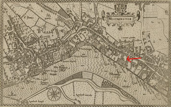
The Savoy Palace, considered the grandest nobleman's townhouse of medieval London, was a residence of prince John of Gaunt until it was destroyed during rioting in the Peasants' Revolt of 1381.
- Category
- Forgotten History
- Location
- London, United Kingdom
- Coordinates
- 51.51056, -0.12028
- How to get there
- Google MapsApple MapsOpenStreetMap
- Wikidata
- Q1886295
What is Savoy Palace?
Savoy Palace is a Forgotten History place on VeroMaps. Other places close by: Simpson's-in-the-Strand, Strand Palace Hotel, The Coal Hole, Savoy Hotel.
Where is Savoy Palace?
Savoy Palace is in London, United Kingdom. Coordinates: 51.51056, -0.12028.
How do I get to Savoy Palace?
Savoy Palace is at London, United Kingdom (51.51056, -0.12028). Enter these coordinates in Google Maps, Apple Maps or OpenStreetMap for walking, cycling or driving directions.