Urbex & Abandoned
Mollie Kathleen Gold Mine
United States
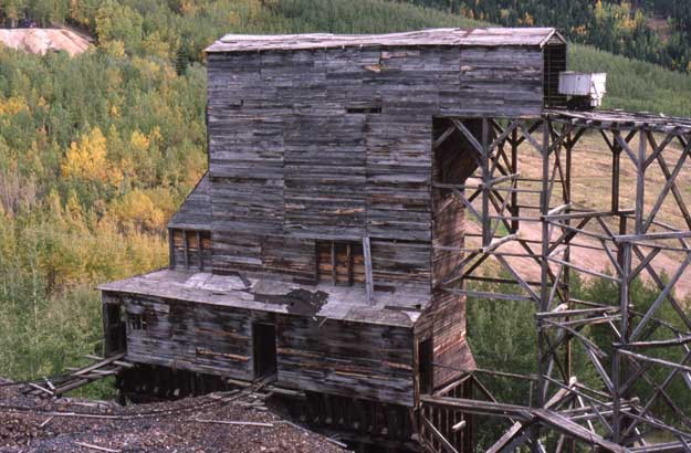
The Mollie Kathleen Gold Mine is a historic vertical shaft mine near Cripple Creek, Colorado, United States. The mine shaft descends 1,000 feet (300 m) into the mountain, a depth roughly equal to the height of the Empire State Building in New York City. The mine closed in 2024, due to the death of a tour guide.
- Category
- Urbex & Abandoned
- Location
- United States
- Address
- 9388 COLORADO 67
- Coordinates
- 38.75376, -105.16043
- How to get there
- Google MapsApple MapsOpenStreetMap
- Wikidata
- Q6896437
What is Mollie Kathleen Gold Mine?
Mollie Kathleen Gold Mine is a Urbex & Abandoned place on VeroMaps, on 9388 COLORADO 67. Other places close by: Cripple Creek & Victor Gold Mine, Victor Hotel, Cave of the Winds, Bemis Hall.
Where is Mollie Kathleen Gold Mine?
Mollie Kathleen Gold Mine is in United States. Coordinates: 38.75376, -105.16043.
How do I get to Mollie Kathleen Gold Mine?
Mollie Kathleen Gold Mine is at 9388 COLORADO 67, United States (38.75376, -105.16043). Enter these coordinates in Google Maps, Apple Maps or OpenStreetMap for walking, cycling or driving directions.