Urbex & Abandoned
Climax mine
Colorado, United States
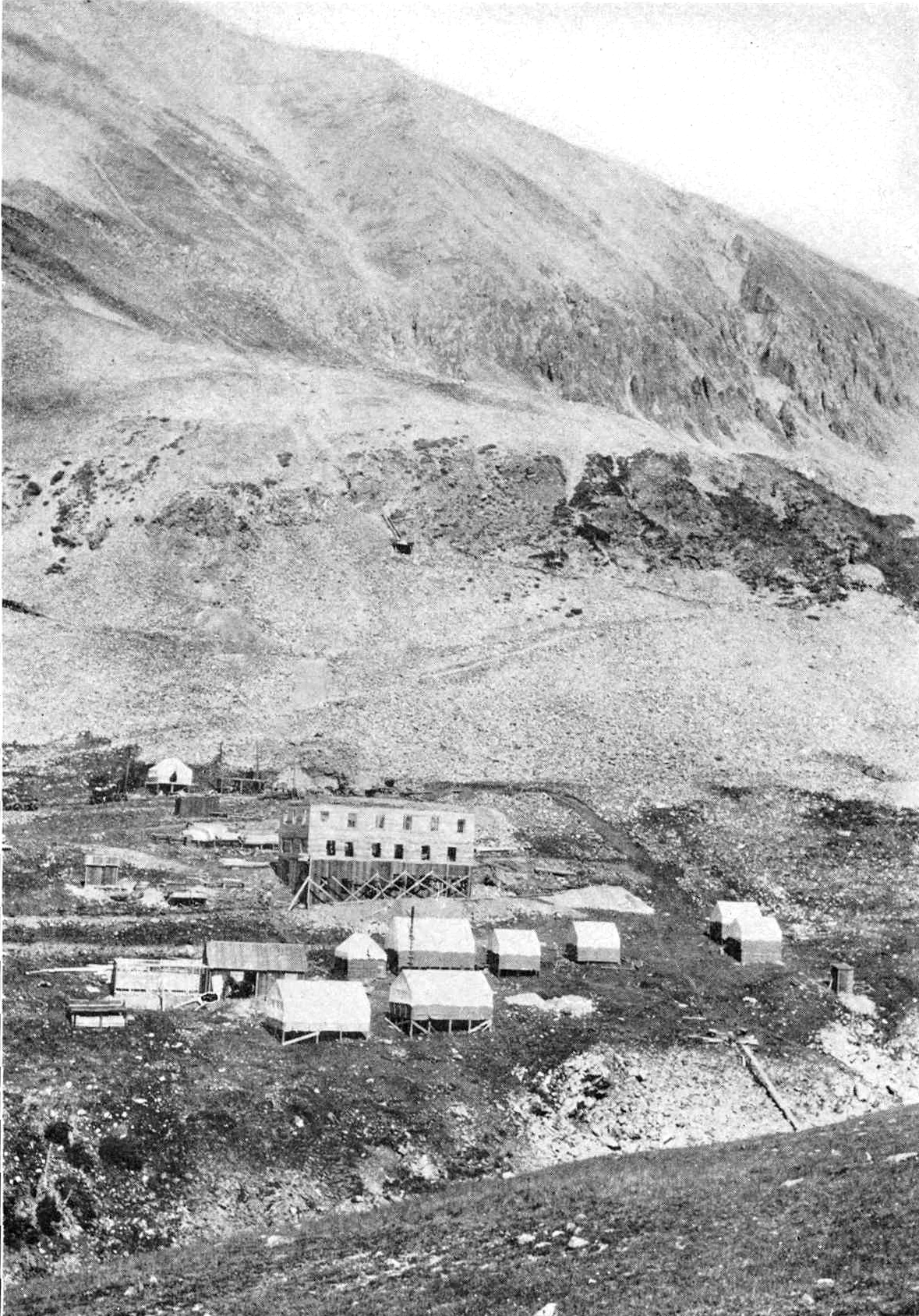
The Climax mine, located in Climax, Colorado, United States, is a major molybdenum mine in Lake and Summit counties, Colorado. The operations encompass approximately 14,350 acres, consisting primarily of patented mining claims and other fee lands. Shipments from the mine began in 1915.
- Category
- Urbex & Abandoned
- Location
- Colorado, United States
- Coordinates
- 39.36917, -106.17194
- How to get there
- Google MapsApple MapsOpenStreetMap
- Wikidata
- Q5133646
What is Climax mine?
Climax mine is a Urbex & Abandoned place on VeroMaps. Other places close by: North London Mill, Betty Ford Alpine Gardens, Henderson Mine, Smuggler Mine.
Where is Climax mine?
Climax mine is in Colorado, United States. Coordinates: 39.36917, -106.17194.
How do I get to Climax mine?
Climax mine is at Colorado, United States (39.36917, -106.17194). Enter these coordinates in Google Maps, Apple Maps or OpenStreetMap for walking, cycling or driving directions.