Urbex & Abandoned
Minong Mine Historic District
Keweenaw County, United States
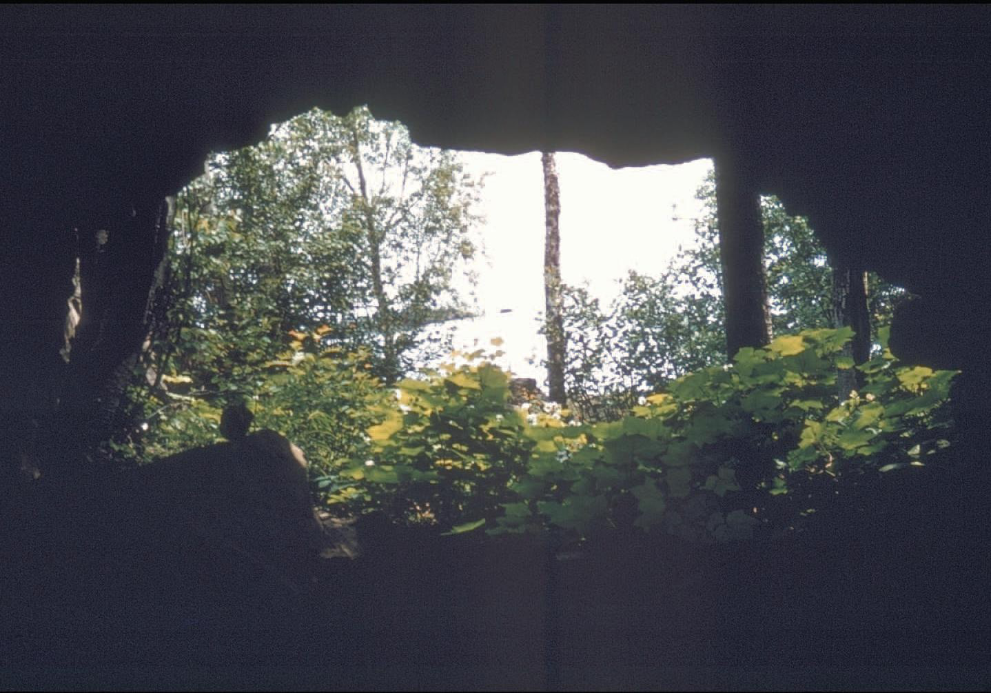
The Minong Mine is a historic mine site located west of McCargoe Cove campground on Isle Royale National Park, Michigan, United States. The district contains both the remnants of a 19th-century copper mine and remains of pre-contact mining activity.
- Category
- Urbex & Abandoned
- Location
- Keweenaw County, United States
- Coordinates
- 48.08278, -88.72639
- How to get there
- Google MapsApple MapsOpenStreetMap
- Wikidata
- Q6869039
What is Minong Mine Historic District?
Minong Mine Historic District is a Urbex & Abandoned place on VeroMaps. Other places close by: The Hoito, Cliff mine, Delaware Mine, Copper Harbor Light.
Where is Minong Mine Historic District?
Minong Mine Historic District is in Keweenaw County, United States. Coordinates: 48.08278, -88.72639.
How do I get to Minong Mine Historic District?
Minong Mine Historic District is at Keweenaw County, United States (48.08278, -88.72639). Enter these coordinates in Google Maps, Apple Maps or OpenStreetMap for walking, cycling or driving directions.